Location Overview
The Spark Andersons Bay Roadside location is 12m high, has 5 licences associated, and is capable* of 3G UMTS, 4G LTE and 5G.
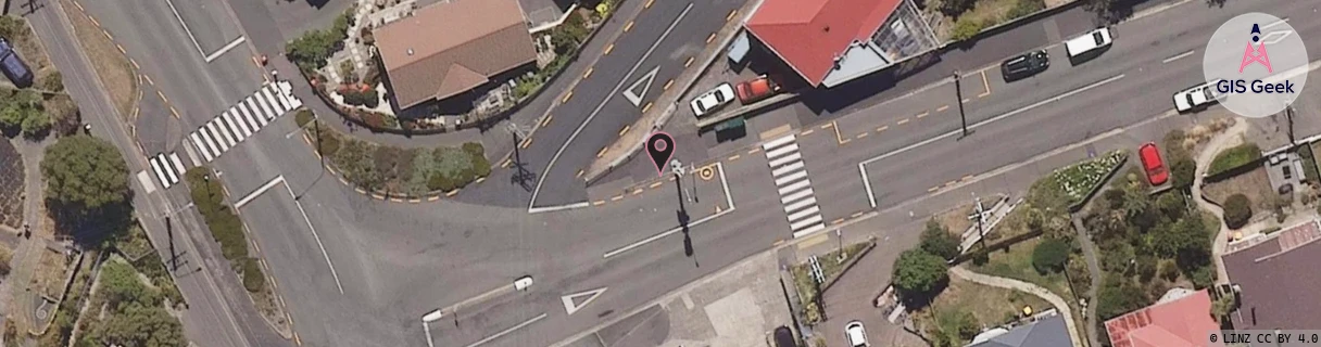
GIS Geek | LINZ | GMaps | Street View
Login required to upload photos or suggest corrections.
Closest Towers
| Provider | Location Name | Distance | Bearing |
|---|---|---|---|
| Spark | Andersons Bay | 42m | 223.78 |
| OneNZ | Andersons Bay | 432m | 308.5 |
| 2Degrees | Andersons Bay | 410m | 309.76 |
| RCG | ROTMHW - Mihiwaka | 15.46km | 29.99 |
Licence Details
Close Cell IDs Spark MMC: 530 MNC: 5
| Radio | Area | Cell | Distance from tower | Bearing from tower | Samples |
|---|---|---|---|---|---|
| UMTS | 2301 | 13887264 | 123m | 309.86 | 5 |
| UMTS | 23411 | 1558093 | 279m | 299.67 | 56 |
| UMTS | 23411 | 1558090 | 255m | 282.2 | 24 |
| UMTS | 23411 | 1538972 | 363m | 303.02 | 4 |
| UMTS | 23411 | 1538973 | 469m | 293.4 | 2 |
| LTE | 28181 | 502393 | 548m | 112 | 1 |
| UMTS | 23411 | 1561353 | 834m | 350.85 | 53 |
| UMTS | 23411 | 1561253 | 726m | 280.8 | 41 |
| UMTS | 23411 | 1561250 | 762m | 270.24 | 17 |
| UMTS | 23411 | 1558193 | 1.03km | 48.56 | 16 |