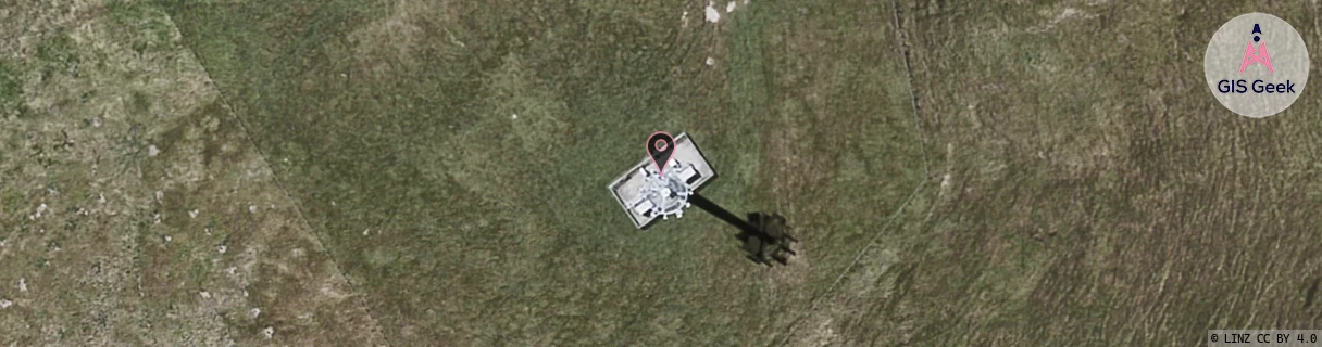
Location Overview
The 2Degrees S_Porangahau location is 25m high, has 2 licences associated, and is capable* of 3G UMTS and 4G LTE.
Location Raw Name: (HKB-032-012-A)[VPOR]_S_PORANGAHAU
GIS Geek | LINZ | GMaps | Street View
Login required to upload photos or suggest corrections.
Closest Towers
| Provider | Location Name | Distance | Bearing |
|---|---|---|---|
| Spark | Porangahau | 1m | 146.91 |
| OneNZ | Porangahau | 1m | 146.91 |
| 2Degrees | S_Takapau | 32.43km | 310.19 |
| RCG | RHBHRR - Hiranui Rd | 16.19km | 2.31 |
Licence Details
Close Cell IDs 2Degrees MMC: 530 MNC: 24
| Radio | Area | Cell | Distance from tower | Bearing from tower | Samples |
|---|---|---|---|---|---|
| UMTS | 62210 | 1771014 | 30.95km | 349.2 | 1 |
| GSM | 815 | 16113 | 34.48km | 344.09 | 7 |
| UMTS | 22210 | 355669 | 34.49km | 338.5 | 176 |
| UMTS | 22210 | 375665 | 35.28km | 339.72 | 4 |