Location Overview
The 2Degrees Orakei Basin location is 9m high, has 7 licences associated, and is capable* of 3G UMTS, 4G LTE and 5G.
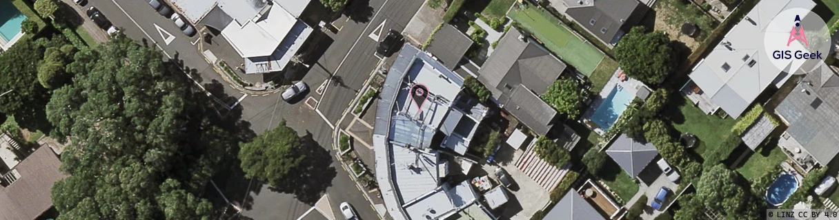
Location Raw Name: (AKL-007-058-A)[ORKB]_ORAKEI BASIN
GIS Geek | LINZ | GMaps | Street View
Login required to upload photos or suggest corrections.
Closest Towers
| Provider | Location Name | Distance | Bearing |
|---|---|---|---|
| Spark | Benson Road | 16m | 110.59 |
| OneNZ | Orakei Basin | 179m | 1.36 |
| 2Degrees | Remuera East | 766m | 164.51 |
| RCG | RAKSSJ - Summerset St John | 2.51km | 87.19 |
Licence Details
Close Cell IDs 2Degrees MMC: 530 MNC: 24
| Radio | Area | Cell | Distance from tower | Bearing from tower | Samples |
|---|---|---|---|---|---|
| LTE | 61002 | 1561860 | 97m | 143.38 | 2 |
| LTE | 61002 | 1561858 | 154m | 23 | 8 |
| UMTS | 10002 | 81163 | 154m | 23 | 1 |
| LTE | 61002 | 2584066 | 264m | 218.99 | 15 |
| LTE | 61002 | 1561862 | 284m | 286.79 | 13 |
| UMTS | 10002 | 81165 | 349m | 290.2 | 1 |
| LTE | 61002 | 1560582 | 502m | 173.35 | 35 |
| LTE | 61002 | 1561348 | 426m | 260.17 | 21 |
| UMTS | 10002 | 71165 | 464m | 284.87 | 1 |
| LTE | 61002 | 2611977 | 544m | 290.22 | 18 |
| UMTS | 10002 | 71125 | 664m | 187.82 | 7 |
| LTE | 61002 | 2601992 | 554m | 273.06 | 12 |
| UMTS | 10002 | 736525 | 602m | 304.1 | 9 |
| UMTS | 10002 | 80724 | 563m | 269.43 | 2 |