Location Overview
The Spark Brooklands location is 19m high, has 7 licences associated, and is capable* of 3G UMTS, 4G LTE and 5G.
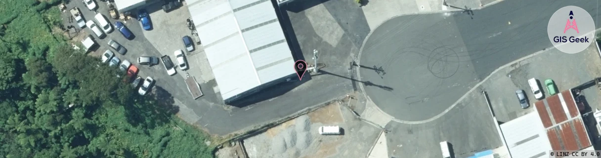
GIS Geek | LINZ | GMaps | Street View
Login required to upload photos or suggest corrections.
Closest Towers
| Provider | Location Name | Distance | Bearing |
|---|---|---|---|
| Spark | Power Co Np | 1.27km | 62.41 |
| OneNZ | Brooklands VF W2BRK | 62m | 120.39 |
| 2Degrees | Vogeltown | 343m | 38.95 |
| RCG | RTRHUI - Huirangi | 14.23km | 78.3 |
Licence Details
Close Cell IDs Spark MMC: 530 MNC: 5
| Radio | Area | Cell | Distance from tower | Bearing from tower | Samples |
|---|---|---|---|---|---|
| LTE | 255 | 336773 | 623m | 14.87 | 1 |
| UMTS | 48394 | 3191333 | 923m | 357.3 | 13 |
| UMTS | 42101 | 2808257 | 923m | 169.96 | 1 |
| UMTS | 48394 | 3185950 | 896m | 331.18 | 17 |
| UMTS | 48394 | 3193983 | 975m | 355.42 | 84 |
| UMTS | 48394 | 3193986 | 852m | 288.67 | 71 |
| LTE | 48151 | 336767 | 987m | 221.32 | 1 |
| UMTS | 48394 | 3193023 | 1.11km | 344.26 | 62 |
| LTE | 48151 | 336773 | 1.06km | 302.23 | 19 |
| UMTS | 48394 | 3191469 | 1.21km | 34.04 | 3 |
| UMTS | 48394 | 3193020 | 1.04km | 285.51 | 70 |
| UMTS | 42101 | 2808637 | 1.23km | 35.87 | 1 |
| UMTS | 48394 | 3191331 | 1.08km | 289.94 | 3 |
| UMTS | 22001 | 1491813 | 1.31km | 26.92 | 1 |