Location Overview
The 2Degrees Whangaparaoa location is 12m high, has 5 licences associated, and is capable* of 3G UMTS and 4G LTE.
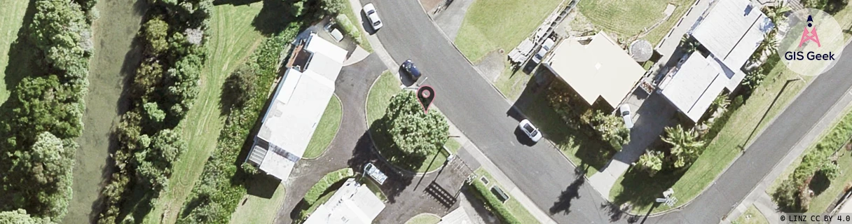
Location Raw Name: (AKL-004-010-B)[WHPR]_WHANGAPARAOA
GIS Geek | LINZ | GMaps | Street View
Login required to upload photos or suggest corrections.
Closest Towers
| Provider | Location Name | Distance | Bearing |
|---|---|---|---|
| Spark | Stanmore Bay | 166m | 46.03 |
| OneNZ | Whangaparaoa | 166m | 46.03 |
| 2Degrees | Wade Head | 1.08km | 232.02 |
| RCG | RAKWRN - Weranui | 11.07km | 296.26 |
Licence Details
Close Cell IDs 2Degrees MMC: 530 MNC: 24
| Radio | Area | Cell | Distance from tower | Bearing from tower | Samples |
|---|---|---|---|---|---|
| UMTS | 10001 | 84354 | 215m | 133.49 | 4 |
| UMTS | 10001 | 74349 | 282m | 168.15 | 1 |
| GSM | 202 | 18321 | 294m | 85.8 | 1 |
| GSM | 202 | 17635 | 319m | 109.1 | 1 |
| GSM | 202 | 18815 | 345m | 252.5 | 1 |
| UMTS | 10001 | 84355 | 434m | 251.8 | 72 |
| LTE | 61001 | 1732354 | 738m | 178.54 | 37 |
| UMTS | 10001 | 74377 | 741m | 237.47 | 44 |
| UMTS | 10001 | 84363 | 897m | 154.5 | 50 |
| UMTS | 10001 | 74417 | 991m | 207.5 | 46 |