Location Overview
The 2Degrees Hokitika location is 34m high, has 5 licences associated, and is capable* of 3G UMTS and 4G LTE.
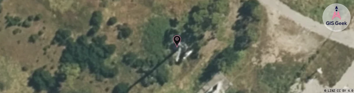
Location Raw Name: (WST-057-001-C)[HOKI]_HOKITIKA
GIS Geek | LINZ | GMaps | Street View
Login required to upload photos or suggest corrections.
Closest Towers
| Provider | Location Name | Distance | Bearing |
|---|---|---|---|
| Spark | Hokitika | 45m | 101.68 |
| OneNZ | Hokitika VF S1HOK | 21m | 131.53 |
| 2Degrees | S_Kaniere | 5.61km | 146.65 |
| RCG | RWCAHV - Arahura Valley | 7.36km | 114.87 |
Licence Details
Close Cell IDs 2Degrees MMC: 530 MNC: 24
| Radio | Area | Cell | Distance from tower | Bearing from tower | Samples |
|---|---|---|---|---|---|
| LTE | 62215 | 1785093 | 358m | 300.66 | 1 |
| LTE | 62215 | 1785094 | 368m | 302.42 | 1 |
| UMTS | 22215 | 432145 | 828m | 238.57 | 9 |
| UMTS | 22215 | 3017648 | 1.05km | 197.16 | 3 |
| UMTS | 22215 | 452145 | 1.05km | 241.95 | 8 |
| UMTS | 22215 | 1883537 | 1.07km | 257.36 | 1 |
| UMTS | 22215 | 432144 | 1.33km | 135.42 | 1 |
| LTE | 22215 | 452141 | 1.41km | 239.14 | 2 |
| UMTS | 22215 | 452142 | 2.03km | 235.75 | 5 |
| UMTS | 22215 | 452139 | 2.28km | 128.88 | 4 |