Location Overview
The 2Degrees Kaimai_Lower location is 11m high, has 5 licences associated, and is capable* of 3G UMTS and 4G LTE.
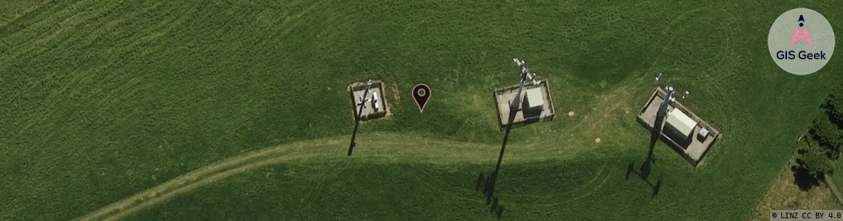
Location has been manually adjusted based on user feedback.
Location Raw Name: (BOP-022-030-B)[KMLW]_KAIMAI_LOWER
GIS Geek | LINZ | GMaps | Street View
Login required to upload photos or suggest corrections.
Closest Towers
| Provider | Location Name | Distance | Bearing |
|---|---|---|---|
| Spark | Lower Kaimai | 27m | 99.02 |
| OneNZ | Kaimai Lower | 51m | 91.99 |
| 2Degrees | S_Te Ranga South | 7.32km | 98.48 |
| RCG | RBPWMR - Whakamarama | 10.21km | 340.79 |
Licence Details
Close Cell IDs 2Degrees MMC: 530 MNC: 24
| Radio | Area | Cell | Distance from tower | Bearing from tower | Samples |
|---|---|---|---|---|---|
| LTE | 62205 | 1827076 | 377m | 161.32 | 15 |
| LTE | 62205 | 1827095 | 324m | 104.14 | 20 |
| LTE | 62205 | 1818902 | 686m | 75.51 | 6 |
| GSM | 136 | 7602 | 1.05km | 210.09 | 6 |
| LTE | 62205 | 1655831 | 996m | 66.47 | 6 |
| GSM | 136 | 9283 | 1.06km | 61.55 | 1 |
| UMTS | 22207 | 271749 | 1.13km | 44.01 | 2 |
| UMTS | 22205 | 279436 | 1.07km | 63.53 | 2 |
| UMTS | 22207 | 270331 | 1.28km | 230.12 | 2 |
| UMTS | 22205 | 269677 | 1.39km | 147.27 | 1 |