Location Overview
The 2Degrees S_Lake Brunner location is 30m high, has 2 licences associated, and is capable* of 3G UMTS and 4G LTE.
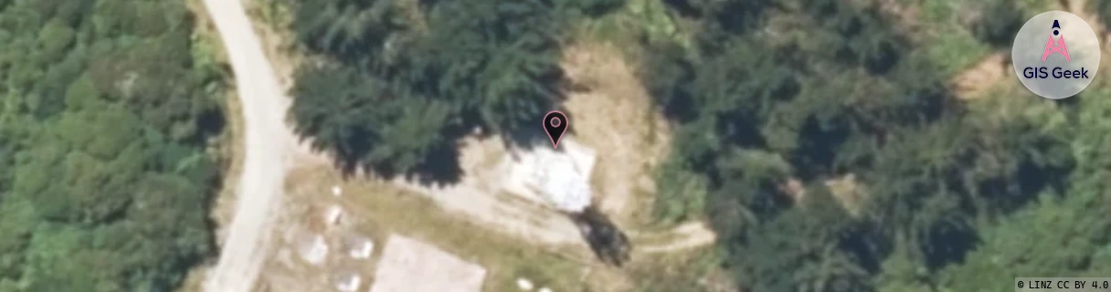
Location Raw Name: (WST-056-017-A)[VLBR]_S_LAKE BRUNNER
GIS Geek | LINZ | GMaps | Street View
Login required to upload photos or suggest corrections.
Closest Towers
| Provider | Location Name | Distance | Bearing |
|---|---|---|---|
| Spark | Lake Brunner | 2.8km | 354.74 |
| OneNZ | Lake Brunner | 4m | 144.84 |
| 2Degrees | Rwcinc - Inchbonnie | 12.71km | 194.71 |
| RCG | RWCINC - Inchbonnie | 12.71km | 194.71 |
Licence Details
Close Cell IDs 2Degrees MMC: 530 MNC: 24
| Radio | Area | Cell | Distance from tower | Bearing from tower | Samples |
|---|---|---|---|---|---|
| GSM | 215 | 38993 | 10.28km | 272.32 | 4 |
| UMTS | 22215 | 452209 | 11.05km | 277.94 | 4 |
| UMTS | 22215 | 452207 | 23.73km | 332.84 | 1 |
| GSM | 215 | 38995 | 29.06km | 313.6 | 3 |