Location Overview
The 2Degrees Tamatea location is 27m high, has 6 licences associated, and is capable* of 3G UMTS, 4G LTE and 5G.
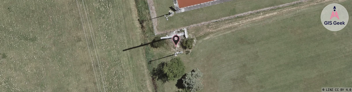
Location Raw Name: (HKB-031-014-A)[TAMT]_TAMATEA
GIS Geek | LINZ | GMaps | Street View
Login required to upload photos or suggest corrections.
Closest Towers
| Provider | Location Name | Distance | Bearing |
|---|---|---|---|
| Spark | Tamatea West | 516m | 120.01 |
| OneNZ | Tamatea 2 | 118m | 69.24 |
| 2Degrees | Onekawa | 1.9km | 85.29 |
| RCG | RHBSFR - Seafield Rd | 8.44km | 318.64 |
Licence Details
Close Cell IDs 2Degrees MMC: 530 MNC: 24
| Radio | Area | Cell | Distance from tower | Bearing from tower | Samples |
|---|---|---|---|---|---|
| UMTS | 22210 | 357449 | 23m | 221.47 | 2 |
| LTE | 62211 | 1644038 | 344m | 298.25 | 1 |
| UMTS | 22211 | 377445 | 368m | 292.56 | 14 |
| LTE | 62210 | 1644038 | 406m | 300.7 | 3 |
| UMTS | 22211 | 357449 | 449m | 313.69 | 1 |
| UMTS | 22211 | 357448 | 431m | 253.81 | 36 |
| LTE | 62210 | 1644036 | 1.01km | 181.54 | 82 |
| LTE | 62211 | 1644036 | 1.02km | 183.34 | 1 |
| UMTS | 22210 | 377443 | 1.03km | 157.48 | 15 |
| GSM | 211 | 29835 | 984m | 131.89 | 6 |
| UMTS | 22211 | 377443 | 1.08km | 218.99 | 11 |
| UMTS | 22210 | 377486 | 1.24km | 179.15 | 6 |