Location Overview
The 2Degrees S_Norsewood Sh2 location is 13m high, has 2 licences associated, and is capable* of 3G UMTS and 4G LTE.
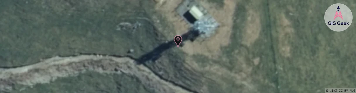
Location Raw Name: (MNW-041-017-A)[VNOR]_S_NORSEWOOD SH2
GIS Geek | LINZ | GMaps | Street View
Login required to upload photos or suggest corrections.
Closest Towers
| Provider | Location Name | Distance | Bearing |
|---|---|---|---|
| Spark | Alliance Dannevirke | 8.67km | 159.27 |
| OneNZ | Norsewood | 84m | 214.37 |
| 2Degrees | Dannevirke | 10.14km | 175.26 |
| RCG | RMWNOR - Norsewood | 12.88km | 70.88 |
Licence Details
Close Cell IDs 2Degrees MMC: 530 MNC: 24
| Radio | Area | Cell | Distance from tower | Bearing from tower | Samples |
|---|---|---|---|---|---|
| UMTS | 22213 | 376631 | 8.05km | 131.24 | 23 |
| GSM | 815 | 16132 | 8.3km | 134.68 | 11 |
| UMTS | 22213 | 26402058 | 7.8km | 117.66 | 3 |
| LTE | 62213 | 1721858 | 8.78km | 142.58 | 2 |