Location Overview
The 2Degrees S_Waiheke Island Hub location is 6m high, has 2 licences associated, and is capable* of 3G UMTS and 4G LTE.
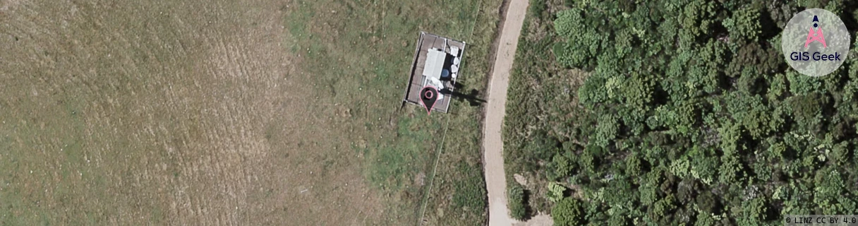
Location Raw Name: (AKL-007-273-A)[VWHH]_S_WAIHEKE ISLAND HUB
GIS Geek | LINZ | GMaps | Street View
Login required to upload photos or suggest corrections.
Closest Towers
| Provider | Location Name | Distance | Bearing |
|---|---|---|---|
| Spark | Onetangi (Waiheke) | 3.78km | 333.16 |
| OneNZ | Waiheke Island Hub (VF A9WHH) | 1m | 186.82 |
| 2Degrees | S_Onetangi | 3.89km | 333.81 |
| RCG | RAKWEK - Waiheke Omaru Bay | 4.82km | 163.24 |
Licence Details
Close Cell IDs 2Degrees MMC: 530 MNC: 24
| Radio | Area | Cell | Distance from tower | Bearing from tower | Samples |
|---|---|---|---|---|---|
| UMTS | 10007 | 74509 | 274m | 215.24 | 1 |
| UMTS | 22202 | 74509 | 274m | 215.24 | 1 |
| UMTS | 22202 | 590215 | 274m | 215.24 | 1 |
| UMTS | 10002 | 591175 | 271m | 255.07 | 1 |