Location Overview
The 2Degrees Airpark Drive location is 24m high, has 6 licences associated, and is capable* of 3G UMTS, 4G LTE and 5G.
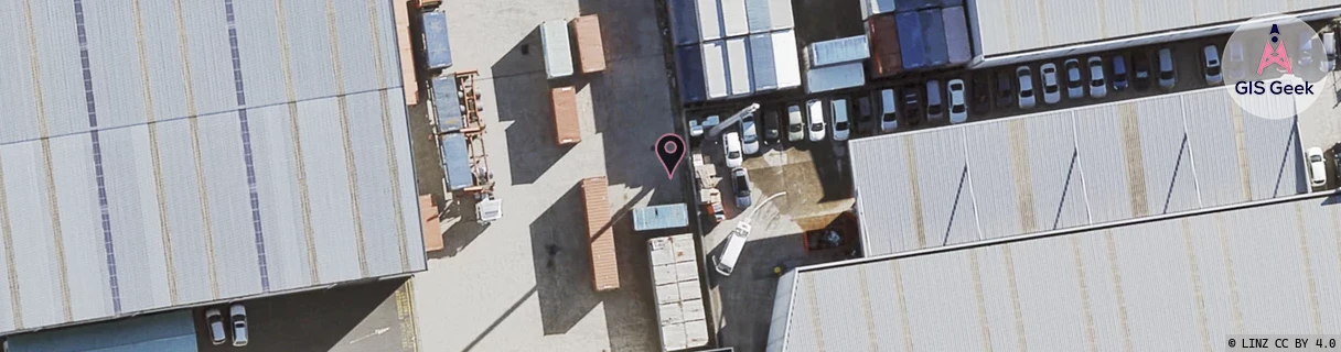
Location Raw Name: (AKL-008-041-H)[APDR]_AIRPARK DRIVE
GIS Geek | LINZ | GMaps | Street View
Login required to upload photos or suggest corrections.
Closest Towers
| Provider | Location Name | Distance | Bearing |
|---|---|---|---|
| Spark | Ascot South | 569m | 53.25 |
| OneNZ | Auckland Airport West | 346m | 97.63 |
| 2Degrees | Mangere_West | 1.3km | 20.91 |
| RCG | RAKMNB - Manawa Bay | 2.25km | 124.76 |
Licence Details
Close Cell IDs 2Degrees MMC: 530 MNC: 24
| Radio | Area | Cell | Distance from tower | Bearing from tower | Samples |
|---|---|---|---|---|---|
| UMTS | 10003 | 66863 | 246m | 57.89 | 2 |
| LTE | 61007 | 1559809 | 317m | 104.35 | 1 |
| UMTS | 10002 | 591151 | 341m | 54.36 | 1 |
| UMTS | 10007 | 591145 | 341m | 54.36 | 3 |
| GSM | 3 | 10105 | 445m | 336.08 | 7 |
| LTE | 61007 | 1559810 | 433m | 44.62 | 32 |
| UMTS | 10007 | 591151 | 457m | 39.87 | 2 |
| UMTS | 10005 | 273471 | 457m | 39.87 | 1 |
| UMTS | 10003 | 66857 | 457m | 39.87 | 1 |
| UMTS | 10003 | 76863 | 575m | 8.84 | 4 |
| LTE | 61005 | 1559810 | 533m | 43.61 | 81 |
| UMTS | 20002 | 1559554 | 537m | 129.12 | 1 |