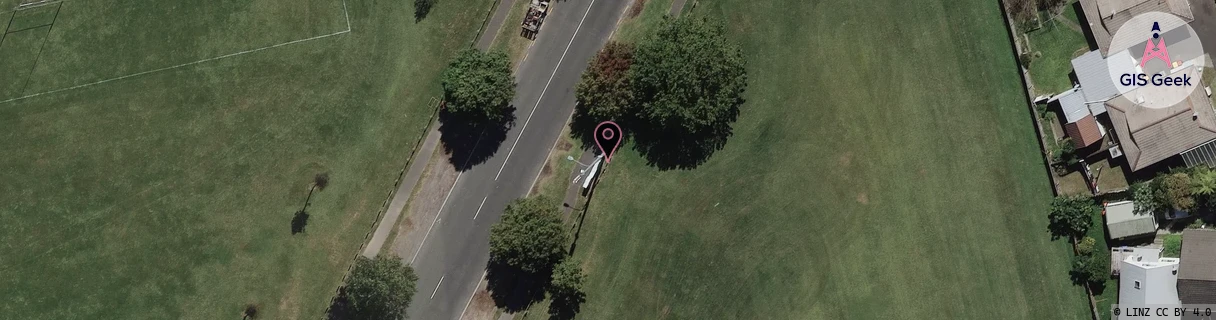
Location Overview
The 2Degrees Lugton Park location is 14m high, has 6 licences associated, and is capable* of 3G UMTS, 4G LTE and 5G.
Location Raw Name: (WKT-016-035-C)[LGTP]_LUGTON PARK
GIS Geek | LINZ | GMaps | Street View
Login required to upload photos or suggest corrections.
Closest Towers
| Provider | Location Name | Distance | Bearing |
|---|---|---|---|
| Spark | Waikato University | 1.17km | 111.55 |
| OneNZ | Lugton Park | 104m | 219.62 |
| 2Degrees | Hamilton East | 582m | 161.72 |
| RCG | RWKTPV - Temple View | 7.84km | 243.4 |
Licence Details
Close Cell IDs 2Degrees MMC: 530 MNC: 24
| Radio | Area | Cell | Distance from tower | Bearing from tower | Samples |
|---|---|---|---|---|---|
| LTE | 62206 | 2691334 | 134m | 264.01 | 23 |
| UMTS | 22206 | 1598726 | 196m | 285.59 | 1 |
| UMTS | 22206 | 271871 | 282m | 343.73 | 6 |
| UMTS | 22206 | 1600002 | 289m | 25.04 | 1 |
| UMTS | 22206 | 281873 | 312m | 215.88 | 4 |
| UMTS | 22206 | 271872 | 302m | 54.27 | 5 |
| UMTS | 22206 | 281871 | 346m | 122.42 | 2 |
| LTE | 62206 | 1600006 | 355m | 238.09 | 28 |
| LTE | 62206 | 2691337 | 408m | 322.5 | 5 |
| UMTS | 22206 | 1600516 | 392m | 101.63 | 2 |
| LTE | 62206 | 2627587 | 507m | 176.37 | 9 |
| UMTS | 22206 | 271869 | 412m | 269.69 | 4 |