Location Overview
The 2Degrees Marton Town location is 15m high, has 6 licences associated, and is capable* of 3G UMTS, 4G LTE and 5G.
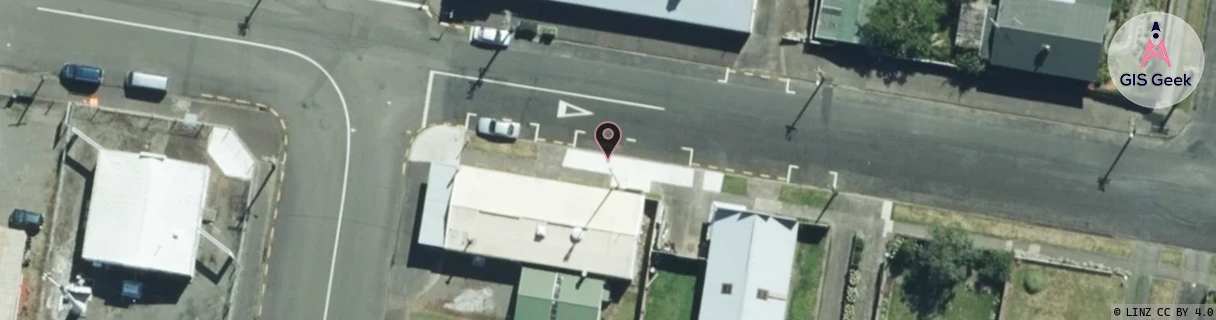
Location Raw Name: (MNW-038-011-B)[MART]_MARTON TOWN
GIS Geek | LINZ | GMaps | Street View
Login required to upload photos or suggest corrections.
Closest Towers
| Provider | Location Name | Distance | Bearing |
|---|---|---|---|
| Spark | Marton | 33m | 241.38 |
| OneNZ | Marton North VF W3MNN | 213m | 222.21 |
| 2Degrees | Marton_Central | 2.15km | 128.22 |
| RCG | RMWSNT - Santoft | 13.1km | 238.67 |
Licence Details
Close Cell IDs 2Degrees MMC: 530 MNC: 24
| Radio | Area | Cell | Distance from tower | Bearing from tower | Samples |
|---|---|---|---|---|---|
| UMTS | 22213 | 355819 | 259m | 236.46 | 1 |
| UMTS | 22213 | 375815 | 971m | 230.67 | 13 |
| GSM | 815 | 21365 | 954m | 79.56 | 2 |
| UMTS | 22213 | 16683 | 1.4km | 171.71 | 1 |
| LTE | 62213 | 1721355 | 3.49km | 121.05 | 4 |
| LTE | 62213 | 2912533 | 3.25km | 93.2 | 8 |
| LTE | 62213 | 2912535 | 3.35km | 97.25 | 23 |
| LTE | 62213 | 1721354 | 3.45km | 95.49 | 24 |
| GSM | 815 | 16682 | 4.18km | 128.94 | 4 |
| GSM | 815 | 16681 | 3.95km | 83 | 5 |
| UMTS | 22213 | 375811 | 4.02km | 86.84 | 10 |
| UMTS | 22213 | 355817 | 4.08km | 82.55 | 5 |