Location Overview
The 2Degrees Newtown location is 20m high, has 4 licences associated, and is capable* of 3G UMTS and 4G LTE.
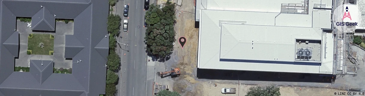
Location Raw Name: (WLG-047-056-A)[NWTN]_NEWTOWN
GIS Geek | LINZ | GMaps | Street View
Login required to upload photos or suggest corrections.
Closest Towers
| Provider | Location Name | Distance | Bearing |
|---|---|---|---|
| Spark | Newtown | 45m | 42.04 |
| OneNZ | Newtown Central (VF W6NTC) | 258m | 322.19 |
| 2Degrees | Newtown East | 497m | 36.65 |
| RCG | RWLMAA - Makara | 8.78km | 284.34 |
Licence Details
Close Cell IDs 2Degrees MMC: 530 MNC: 24
| Radio | Area | Cell | Distance from tower | Bearing from tower | Samples |
|---|---|---|---|---|---|
| GSM | 8 | 21011 | 66m | 295.37 | 8 |
| UMTS | 20002 | 172316 | 110m | 62.4 | 2 |
| UMTS | 20002 | 172320 | 266m | 39.28 | 2 |
| UMTS | 20002 | 171225 | 275m | 140.33 | 8 |
| LTE | 62002 | 1810822 | 248m | 289.41 | 1 |
| LTE | 62002 | 1607436 | 325m | 3.59 | 1 |
| UMTS | 20002 | 172318 | 301m | 41.47 | 8 |
| LTE | 62002 | 1628678 | 339m | 16.29 | 26 |