Location Overview
The 2Degrees S_Garston location is 16m high, has 2 licences associated, and is capable* of 3G UMTS and 4G LTE.
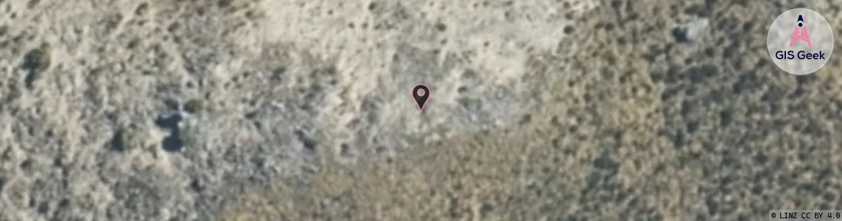
Location Raw Name: (STH-073-051-A)[VGSN]_S_GARSTON
GIS Geek | LINZ | GMaps | Street View
Login required to upload photos or suggest corrections.
Closest Towers
| Provider | Location Name | Distance | Bearing |
|---|---|---|---|
| Spark | Garston | 869m | 251.18 |
| OneNZ | Garston | 37m | 238.69 |
| 2Degrees | S_Mid Dome | 26.61km | 210.2 |
| RCG | ROTWQT - West Queenstown | 32.86km | 330.34 |
Licence Details
Close Cell IDs 2Degrees MMC: 530 MNC: 24
| Radio | Area | Cell | Distance from tower | Bearing from tower | Samples |
|---|---|---|---|---|---|
| LTE | 62220 | 337807 | 2.13km | 259.95 | 50 |
| LTE | 62220 | 337806 | 4.8km | 223.5 | 51 |
| UMTS | 22219 | 19758642 | 5.71km | 29.66 | 1 |
| LTE | 62219 | 2803204 | 5.69km | 30.63 | 2 |