Location Overview
The 2Degrees Clevedon location is 20m high, has 3 licences associated, and is capable* of 3G UMTS and 4G LTE.
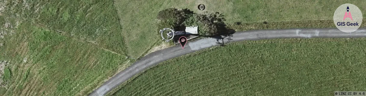
Location Raw Name: (AKL-008-069-B)[CVDN]_CLEVEDON
GIS Geek | LINZ | GMaps | Street View
Login required to upload photos or suggest corrections.
Closest Towers
| Provider | Location Name | Distance | Bearing |
|---|---|---|---|
| Spark | Clevedon | 197m | 221.18 |
| OneNZ | Clevedon | 34m | 165.02 |
| 2Degrees | Clevedon | 0m | 0 |
| RCG | RAKCLN - Clevedon North | 5.09km | 9.22 |
Licence Details
Close Cell IDs 2Degrees MMC: 530 MNC: 24
| Radio | Area | Cell | Distance from tower | Bearing from tower | Samples |
|---|---|---|---|---|---|
| UMTS | 10007 | 601572 | 1.86km | 158.94 | 3 |
| UMTS | 10007 | 591567 | 1.98km | 149.08 | 2 |
| UMTS | 10007 | 591572 | 2.14km | 163.71 | 2 |
| UMTS | 10007 | 1666562 | 1.84km | 254.48 | 1 |
| UMTS | 1911 | 62385313 | 2.39km | 222.19 | 1 |
| UMTS | 10007 | 591573 | 2.48km | 239.07 | 17 |