Location Overview
The 2Degrees Grange Road location is 10m high, has 3 licences associated, and is capable* of 3G UMTS and 4G LTE.
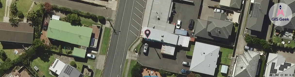
Location Raw Name: (BOP-023-028-B)[GRAN]_GRANGE ROAD
GIS Geek | LINZ | GMaps | Street View
Login required to upload photos or suggest corrections.
Closest Towers
| Provider | Location Name | Distance | Bearing |
|---|---|---|---|
| Spark | Brookfield | 1.21km | 232.02 |
| OneNZ | Brookfield Bellevue VF C5BVB | 1.12km | 237.49 |
| 2Degrees | Bureta | 1.13km | 29.24 |
| RCG | RBPOHT - Ohauiti | 12.36km | 156.69 |
Licence Details
Close Cell IDs 2Degrees MMC: 530 MNC: 24
| Radio | Area | Cell | Distance from tower | Bearing from tower | Samples |
|---|---|---|---|---|---|
| UMTS | 22205 | 281503 | 344m | 311.91 | 9 |
| LTE | 62205 | 1656326 | 637m | 297.72 | 2 |
| GSM | 205 | 19455 | 772m | 206.92 | 4 |
| UMTS | 22205 | 269441 | 810m | 47.39 | 1 |
| LTE | 62205 | 1619973 | 811m | 47.42 | 1 |
| LTE | 62205 | 1656836 | 882m | 40.82 | 4 |