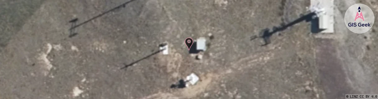
Location Overview
The Spark Mt Difficulty location is 26m high, has 4 licences associated, and is capable* of 3G UMTS and 4G LTE.
GIS Geek | LINZ | GMaps | Street View
Login required to upload photos or suggest corrections.
Closest Towers
| Provider | Location Name | Distance | Bearing |
|---|---|---|---|
| Spark | Cromwell West | 7.59km | 98.58 |
| OneNZ | Cromwell | 24m | 122.46 |
| 2Degrees | S_Cromwell | 23m | 121.86 |
| RCG | ROTLWB - Lowburn | 9.79km | 59.17 |
Licence Details
Close Cell IDs Spark MMC: 530 MNC: 5
| Radio | Area | Cell | Distance from tower | Bearing from tower | Samples |
|---|---|---|---|---|---|
| UMTS | 21401 | 1427100 | 1.98km | 31.35 | 1 |
| UMTS | 28398 | 1430190 | 2.59km | 7.55 | 2 |
| UMTS | 28398 | 1430187 | 2.72km | 7.97 | 37 |
| UMTS | 28398 | 1427097 | 2.42km | 77.06 | 1 |
| UMTS | 28398 | 19785345 | 2.66km | 83.22 | 1 |
| UMTS | 28398 | 1430193 | 3.74km | 331.81 | 2 |
| UMTS | 28398 | 1875781 | 2.96km | 96.25 | 32 |
| UMTS | 21401 | 1427097 | 2.99km | 96.53 | 1 |