Location Overview
The 2Degrees S_Dashwood location is 21m high, has 2 licences associated, and is capable* of 3G UMTS and 4G LTE.
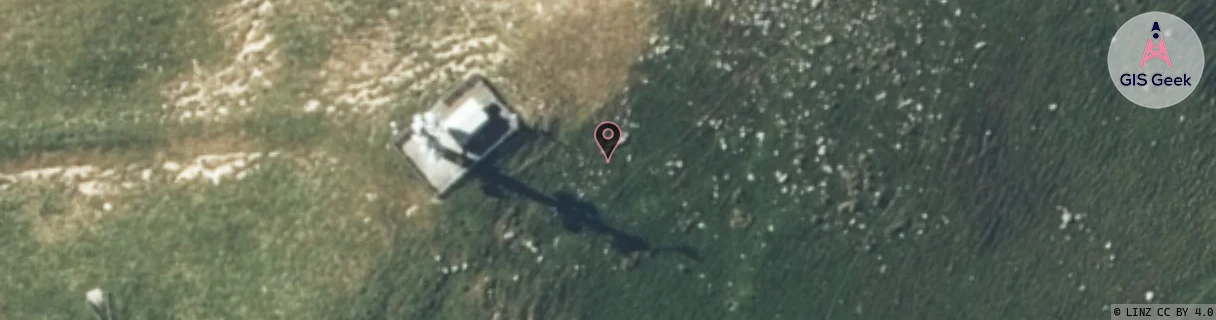
Location Raw Name: (MBN-053-033-A)[VDSH]_S_DASHWOOD
GIS Geek | LINZ | GMaps | Street View
Login required to upload photos or suggest corrections.
Closest Towers
| Provider | Location Name | Distance | Bearing |
|---|---|---|---|
| Spark | Weld Pass | 68m | 244.23 |
| OneNZ | Dashwood | 142m | 223.97 |
| 2Degrees | Wither_Hills | 7.4km | 318.22 |
| RCG | RMLRRG - Rarangi | 21.95km | 0.01 |
Licence Details
Close Cell IDs 2Degrees MMC: 530 MNC: 24
| Radio | Area | Cell | Distance from tower | Bearing from tower | Samples |
|---|---|---|---|---|---|
| GSM | 24 | 22181 | 3.26km | 358.74 | 15 |
| GSM | 24 | 22182 | 3.19km | 146.08 | 13 |
| UMTS | 22199 | 442460 | 5.38km | 37.93 | 1 |
| GSM | 24 | 22103 | 5.87km | 350.68 | 4 |