Location Overview
The 2Degrees Masterton location is 23m high, has 6 licences associated, and is capable* of 3G UMTS, 4G LTE and 5G.
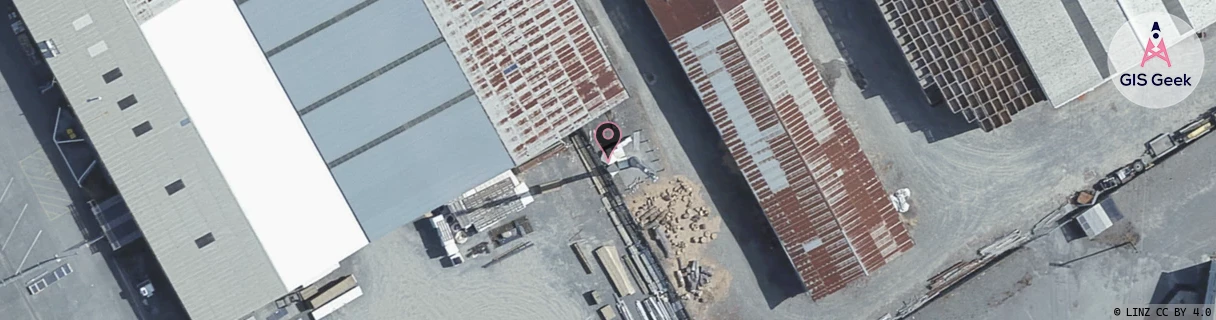
Location Raw Name: (WLG-048-003-B)[MSTN]_MASTERTON
GIS Geek | LINZ | GMaps | Street View
Login required to upload photos or suggest corrections.
Closest Towers
| Provider | Location Name | Distance | Bearing |
|---|---|---|---|
| Spark | Masterton Exchange | 903m | 173.63 |
| OneNZ | Masterton | 434m | 286.41 |
| 2Degrees | Lansdowne | 1.44km | 116.38 |
| RCG | RWLTWH - Te Whiti | 10.06km | 176.26 |
Licence Details
Close Cell IDs 2Degrees MMC: 530 MNC: 24
| Radio | Area | Cell | Distance from tower | Bearing from tower | Samples |
|---|---|---|---|---|---|
| UMTS | 22213 | 26401949 | 855m | 191.55 | 1 |
| GSM | 213 | 28055 | 780m | 126.02 | 1 |
| UMTS | 22213 | 355738 | 938m | 171.22 | 38 |
| GSM | 213 | 28065 | 997m | 181.16 | 1 |
| UMTS | 22213 | 1669892 | 1.03km | 198.06 | 2 |
| UMTS | 22213 | 375731 | 878m | 94.34 | 49 |
| UMTS | 22213 | 375733 | 1.16km | 188.54 | 2 |
| UMTS | 22213 | 375742 | 1.17km | 166.09 | 2 |
| LTE | 62213 | 1669634 | 1.27km | 176.31 | 12 |
| UMTS | 22213 | 26405377 | 1.07km | 302.02 | 1 |
| UMTS | 22213 | 355737 | 1.01km | 82.89 | 35 |
| GSM | 819 | 18422 | 1.33km | 194.02 | 2 |