Location Overview
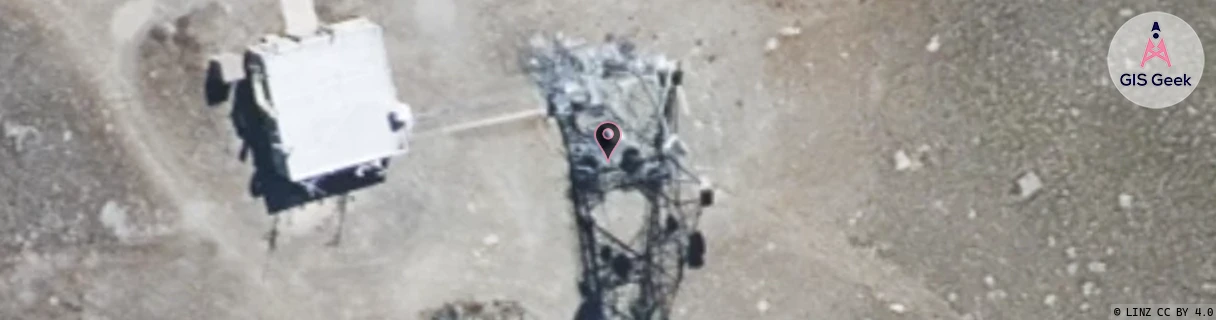
The 2Degrees S_Obelisk (Bcl) location is 10m high, has 2 licences associated, and is capable* of 3G UMTS and 4G LTE.
Location Raw Name: (OTG-069-009-A)[VOSK]_S_OBELISK (BCL)
GIS Geek | LINZ | GMaps | Street View
Login required to upload photos or suggest corrections.
Closest Towers
| Provider | Location Name | Distance | Bearing |
|---|---|---|---|
| Spark | Alexandra Town North | 16.13km | 57.52 |
| OneNZ | Obelisk 2 | 1m | 136.14 |
| 2Degrees | S_Shingle Creek | 15.01km | 156.01 |
| RCG | ROTLWB - Lowburn | 36.33km | 358.32 |
Licence Details
Close Cell IDs 2Degrees MMC: 530 MNC: 24
| Radio | Area | Cell | Distance from tower | Bearing from tower | Samples |
|---|---|---|---|---|---|
| GSM | 219 | 39323 | 7.44km | 52.46 | 1 |
| GSM | 219 | 39321 | 7.44km | 52.46 | 1 |
| UMTS | 22219 | 452331 | 10.01km | 42.73 | 1 |
| UMTS | 22219 | 19783582 | 9.79km | 50.21 | 1 |