Location Overview
The 2Degrees Nelson Airport location is 23m high, has 6 licences associated, and is capable* of 3G UMTS, 4G LTE and 5G.
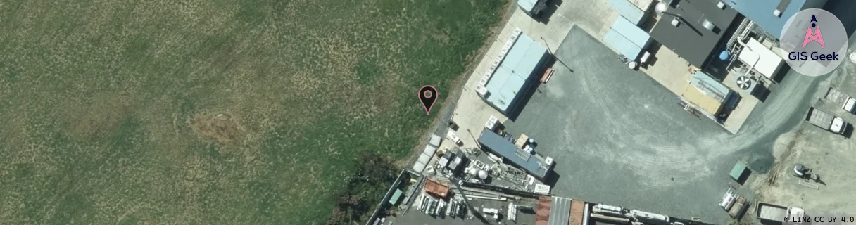
Location Raw Name: (MBN-052-007-B)[NELA]_NELSON AIRPORT
GIS Geek | LINZ | GMaps | Street View
Login required to upload photos or suggest corrections.
Closest Towers
| Provider | Location Name | Distance | Bearing |
|---|---|---|---|
| Spark | Nelson Airport | 248m | 218.29 |
| OneNZ | Annesbrook | 415m | 97.47 |
| 2Degrees | Stoke | 1.39km | 161.93 |
| RCG | RNSRPH - Retiro Park Hilltop | 15.26km | 64.55 |
Licence Details
Close Cell IDs 2Degrees MMC: 530 MNC: 24
| Radio | Area | Cell | Distance from tower | Bearing from tower | Samples |
|---|---|---|---|---|---|
| UMTS | 22215 | 442872 | 225m | 168 | 2 |
| UMTS | 22215 | 442875 | 292m | 66.84 | 5 |
| UMTS | 22215 | 442835 | 354m | 244.16 | 5 |
| UMTS | 22215 | 442887 | 636m | 191.72 | 3 |
| UMTS | 22215 | 442871 | 534m | 284.61 | 5 |
| LTE | 62215 | 1705734 | 710m | 205.96 | 48 |
| UMTS | 22215 | 422835 | 714m | 230.5 | 19 |
| LTE | 62215 | 1705990 | 964m | 184 | 28 |
| UMTS | 22215 | 442827 | 1.09km | 341 | 5 |
| UMTS | 22215 | 442829 | 898m | 89.67 | 4 |
| UMTS | 22215 | 442834 | 937m | 90.85 | 3 |
| UMTS | 22215 | 422834 | 940m | 86.17 | 3 |