Location Overview
The 2Degrees Shamrock Park location is 15m high, has 3 licences associated, and is capable* of 3G UMTS and 4G LTE.
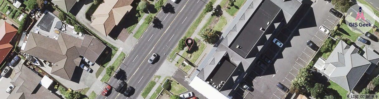
Location Raw Name: (AKL-008-075-B)[SHPK]_SHAMROCK PARK
GIS Geek | LINZ | GMaps | Street View
Login required to upload photos or suggest corrections.
Closest Towers
| Provider | Location Name | Distance | Bearing |
|---|---|---|---|
| Spark | Bruce Mclaren | 490m | 57.09 |
| OneNZ | Shamrock Park | 94m | 37.68 |
| 2Degrees | Dannemora | 839m | 246.69 |
| RCG | RAKBRB - Brookby | 8.45km | 141.77 |
Licence Details
Close Cell IDs 2Degrees MMC: 530 MNC: 24
| Radio | Area | Cell | Distance from tower | Bearing from tower | Samples |
|---|---|---|---|---|---|
| UMTS | 10004 | 1690628 | 61m | 145.67 | 1 |
| UMTS | 10007 | 590855 | 124m | 112.55 | 3 |
| UMTS | 10007 | 1690628 | 294m | 36.88 | 1 |
| LTE | 61007 | 1701122 | 294m | 48.33 | 28 |
| UMTS | 10005 | 273182 | 298m | 232.55 | 5 |
| UMTS | 10007 | 590805 | 318m | 315.98 | 6 |