Location Overview
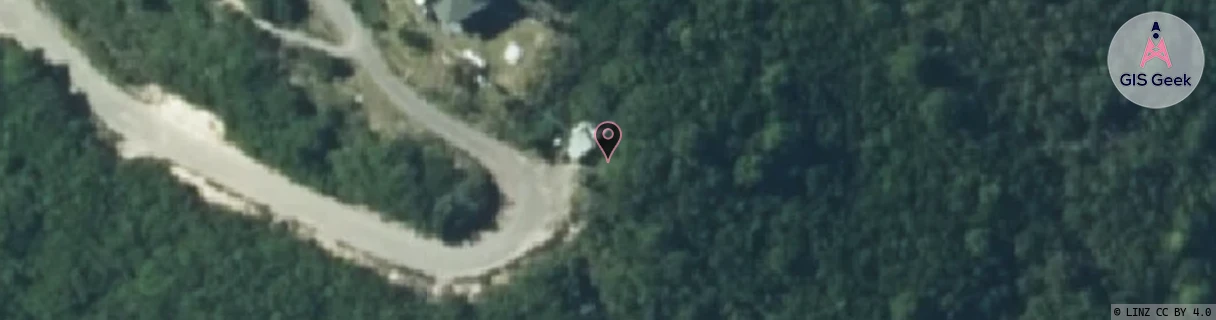
The Spark Rainbow Mountain location is 24m high, has 3 licences associated, and is capable* of 3G UMTS and 4G LTE.
GIS Geek | LINZ | GMaps | Street View
Login required to upload photos or suggest corrections.
Closest Towers
| Provider | Location Name | Distance | Bearing |
|---|---|---|---|
| Spark | Reporoa | 12.57km | 196.59 |
| OneNZ | Rainbow Mountain | 59m | 238.21 |
| 2Degrees | Rainbow_Mountain | 32m | 311.55 |
| RCG | RBPBUV - Buried Village | 13.54km | 359.49 |
Licence Details
Close Cell IDs Spark MMC: 530 MNC: 5
| Radio | Area | Cell | Distance from tower | Bearing from tower | Samples |
|---|---|---|---|---|---|
| UMTS | 48399 | 2922145 | 545m | 240.38 | 1 |
| UMTS | 48392 | 182632 | 1.78km | 244.34 | 1 |
| UMTS | 48392 | 2922148 | 2.05km | 227.72 | 35 |
| UMTS | 48392 | 3174264 | 2.53km | 316.16 | 51 |
| UMTS | 48392 | 2922145 | 2.53km | 230.26 | 21 |
| UMTS | 48392 | 2918207 | 3.07km | 207.16 | 9 |