Location Overview
The 2Degrees Harewood location is 34m high, has 5 licences associated, and is capable* of 3G UMTS and 4G LTE.
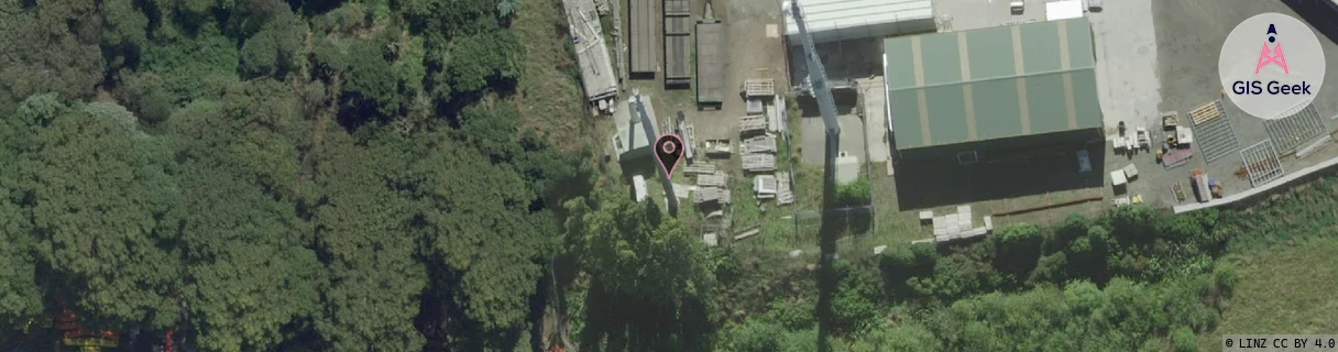
Location Raw Name: (CHC-060-041-A)[HARE]_HAREWOOD
GIS Geek | LINZ | GMaps | Street View
Login required to upload photos or suggest corrections.
Closest Towers
| Provider | Location Name | Distance | Bearing |
|---|---|---|---|
| Spark | St Johns Road | 7m | 296.86 |
| OneNZ | Johns Road | 74m | 337.19 |
| 2Degrees | Casebrook | 1.7km | 142.25 |
| RCG | RCTTPI - The Pines Beach | 13.47km | 45.36 |
Licence Details
Close Cell IDs 2Degrees MMC: 530 MNC: 24
| Radio | Area | Cell | Distance from tower | Bearing from tower | Samples |
|---|---|---|---|---|---|
| GSM | 60 | 30585 | 959m | 203.97 | 1 |
| LTE | 63001 | 1674754 | 905m | 68.04 | 117 |
| UMTS | 30001 | 181885 | 1.28km | 186.76 | 15 |
| UMTS | 30001 | 161889 | 1km | 80.13 | 9 |
| UMTS | 30001 | 161291 | 1.34km | 165.49 | 13 |
| UMTS | 30001 | 1679622 | 1.36km | 157.31 | 1 |
| UMTS | 30001 | 181179 | 1.09km | 247.4 | 4 |
| UMTS | 30001 | 181883 | 1.07km | 73.47 | 13 |
| LTE | 63001 | 1679622 | 1.4km | 155.49 | 14 |
| LTE | 255 | 1674758 | 1.18km | 238.6 | 2 |