Location Overview
The 2Degrees Marshland location is 27m high, has 5 licences associated, and is capable* of 3G UMTS and 4G LTE.
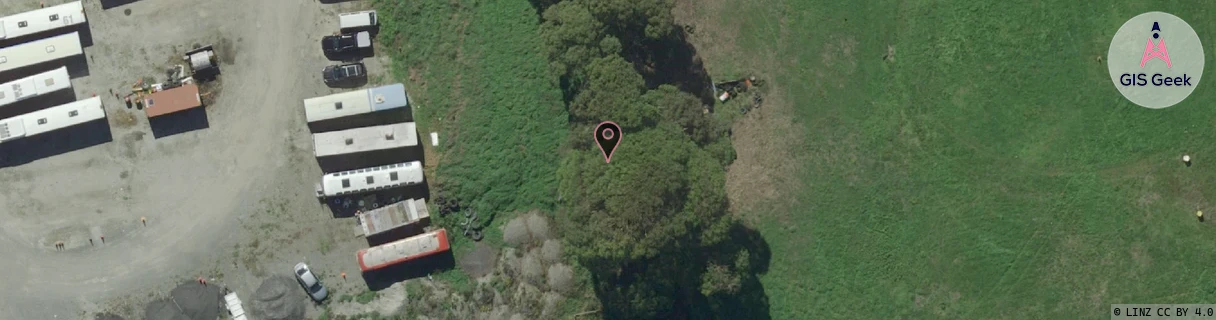
Location has been manually adjusted based on user feedback.
Location Raw Name: (CHC-060-098-D)[MARS]_MARSHLAND
GIS Geek | LINZ | GMaps | Street View
Login required to upload photos or suggest corrections.
Closest Towers
| Provider | Location Name | Distance | Bearing |
|---|---|---|---|
| Spark | Marshland | 1.95km | 149.22 |
| OneNZ | Marshlands Christchurch VF S3MAS | 1.85km | 157.48 |
| 2Degrees | Preston | 1.4km | 157.33 |
| RCG | RCTTPI - The Pines Beach | 9.18km | 17.9 |
Licence Details
Close Cell IDs 2Degrees MMC: 530 MNC: 24
| Radio | Area | Cell | Distance from tower | Bearing from tower | Samples |
|---|---|---|---|---|---|
| UMTS | 30002 | 161921 | 242m | 248.27 | 2 |
| GSM | 60 | 30843 | 394m | 204.26 | 13 |
| UMTS | 30001 | 161920 | 567m | 217.13 | 7 |
| GSM | 25 | 21411 | 667m | 200.72 | 11 |
| UMTS | 30002 | 161659 | 893m | 193.78 | 2 |
| UMTS | 30002 | 162069 | 1.03km | 183.5 | 2 |
| UMTS | 30002 | 181653 | 1.04km | 191.81 | 1 |
| UMTS | 30001 | 181917 | 1.03km | 333.86 | 10 |
| UMTS | 30002 | 181915 | 1.08km | 168.43 | 13 |
| GSM | 25 | 21982 | 1.08km | 336.61 | 4 |