Location Overview
The 2Degrees Napier Hub location is 24m high, has 3 licences associated, and is capable* of 3G UMTS and 4G LTE.
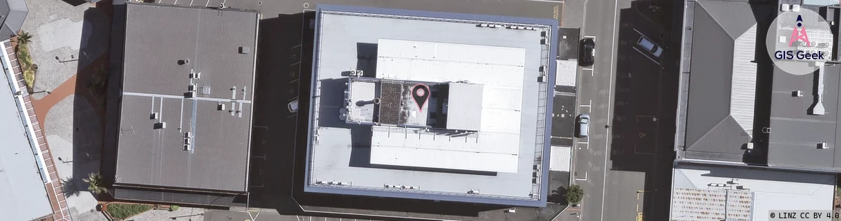
Location Raw Name: (HKB-031-001-A)[NAPH]_NAPIER HUB
GIS Geek | LINZ | GMaps | Street View
Login required to upload photos or suggest corrections.
Closest Towers
| Provider | Location Name | Distance | Bearing |
|---|---|---|---|
| Spark | Napier City | 239m | 339.2 |
| OneNZ | Napier Central (VF W1NIE) | 10m | 14.16 |
| 2Degrees | Mclean_Park | 661m | 195.18 |
| RCG | RHBSFR - Seafield Rd | 11.85km | 291.93 |
Licence Details
Close Cell IDs 2Degrees MMC: 530 MNC: 24
| Radio | Area | Cell | Distance from tower | Bearing from tower | Samples |
|---|---|---|---|---|---|
| UMTS | 22211 | 377533 | 112m | 7.39 | 26 |
| LTE | 62211 | 1641988 | 184m | 190.14 | 2 |
| UMTS | 22211 | 377531 | 223m | 339.96 | 10 |
| UMTS | 22211 | 377537 | 228m | 350.26 | 49 |
| UMTS | 22211 | 377538 | 248m | 179.82 | 55 |
| LTE | 62211 | 1641986 | 291m | 23.53 | 1 |