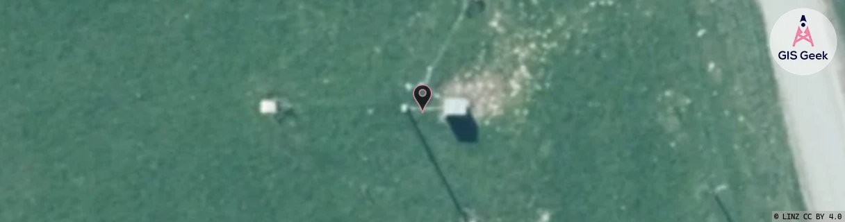
Location Overview
The Spark Hororata location is 37m high, has 4 licences associated, and is capable* of 3G UMTS and 4G LTE.
GIS Geek | LINZ | GMaps | Street View
Login required to upload photos or suggest corrections.
Closest Towers
| Provider | Location Name | Distance | Bearing |
|---|---|---|---|
| Spark | Glentunnel | 8.31km | 327.97 |
| OneNZ | Glentunnel ONZ S3GNT | 8.31km | 327.99 |
| 2Degrees | Glentunnel | 8.31km | 327.97 |
| RCG | RCTBSW - Bankside West | 12.71km | 173.26 |
Licence Details
Close Cell IDs Spark MMC: 530 MNC: 5
| Radio | Area | Cell | Distance from tower | Bearing from tower | Samples |
|---|---|---|---|---|---|
| UMTS | 28393 | 1878131 | 1.17km | 330.92 | 2 |
| UMTS | 28394 | 1875890 | 920m | 95.18 | 3 |
| UMTS | 28393 | 1875914 | 2.73km | 51.44 | 4 |
| UMTS | 22208 | 1492983 | 5.06km | 337.31 | 2 |
| LTE | 28161 | 380803 | 5.18km | 338.27 | 11 |
| UMTS | 24402 | 1624057 | 5.11km | 232.66 | 4 |
| UMTS | 28394 | 1626185 | 6.9km | 0.28 | 1 |
| LTE | 28221 | 381039 | 6.86km | 345.9 | 77 |