Location Overview
The Spark Bromley location is 22m high, has 7 licences associated, and is capable* of 3G UMTS, 4G LTE and 5G.
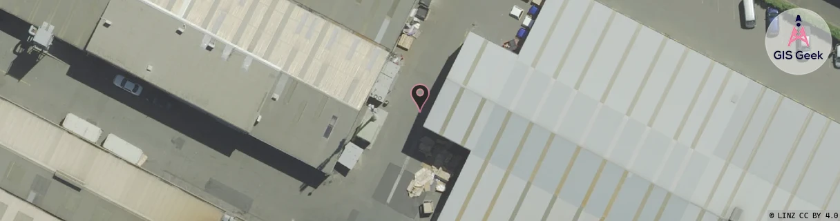
GIS Geek | LINZ | GMaps | Street View
Login required to upload photos or suggest corrections.
Closest Towers
| Provider | Location Name | Distance | Bearing |
|---|---|---|---|
| Spark | Hargood Ferry | 1.64km | 237.16 |
| OneNZ | Linwood Ave VF S3LAV | 844m | 254.89 |
| 2Degrees | Bromley South | 118m | 92.64 |
| RCG | RCTPTL - Port Levy | 16.09km | 133.98 |
Licence Details
Close Cell IDs Spark MMC: 530 MNC: 5
| Radio | Area | Cell | Distance from tower | Bearing from tower | Samples |
|---|---|---|---|---|---|
| LTE | 28141 | 268935 | 598m | 138.81 | 10 |
| LTE | 2101 | 12860705 | 688m | 181.08 | 1 |
| UMTS | 21003 | 1426882 | 693m | 11.52 | 1 |
| UMTS | 28399 | 1428762 | 698m | 193.53 | 2 |
| LTE | 28141 | 12860705 | 699m | 165.94 | 14 |
| UMTS | 21003 | 1426879 | 723m | 335.1 | 1 |
| UMTS | 28399 | 1875637 | 838m | 359.12 | 1 |
| UMTS | 21003 | 1426878 | 824m | 222.18 | 1 |
| UMTS | 21003 | 1426881 | 824m | 222.18 | 1 |
| UMTS | 28399 | 1875634 | 888m | 311.45 | 1 |
| UMTS | 21003 | 1427627 | 860m | 299.84 | 1 |
| UMTS | 21003 | 1426880 | 801m | 77.83 | 1 |
| LTE | 28141 | 260733 | 1.09km | 187.49 | 5 |
| LTE | 28141 | 13832479 | 842m | 88.8 | 3 |