Location Overview
The 2Degrees S_Taharoa location is 7m high, has 2 licences associated, and is capable* of 3G UMTS and 4G LTE.
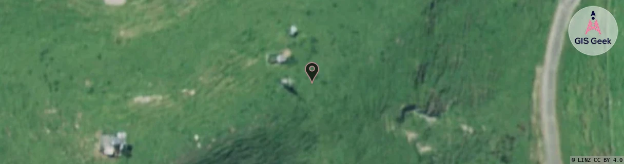
Location Raw Name: (WKT-020-016-A)[VTAO]_S_TAHAROA
GIS Geek | LINZ | GMaps | Street View
Login required to upload photos or suggest corrections.
Closest Towers
| Provider | Location Name | Distance | Bearing |
|---|---|---|---|
| Spark | Kawhia | 15.68km | 34.11 |
| OneNZ | Taharoa | 1m | 183.61 |
| 2Degrees | S_Kawhia | 15.67km | 34.1 |
| RCG | RWKTEA - Te Anga | 11.36km | 146.65 |
Licence Details
Close Cell IDs 2Degrees MMC: 530 MNC: 24
| Radio | Area | Cell | Distance from tower | Bearing from tower | Samples |
|---|---|---|---|---|---|
| LTE | 62206 | 1715716 | 29.57km | 24.97 | 1 |
| UMTS | 206 | 280897 | 30.09km | 18.19 | 1 |
| UMTS | 22206 | 270897 | 29.77km | 23.06 | 1 |
| GSM | 206 | 18753 | 36.45km | 9.22 | 7 |