Location Overview
The 2Degrees S_Portage/Marlborough location is 12m high, has 2 licences associated, and is capable* of 3G UMTS and 4G LTE.
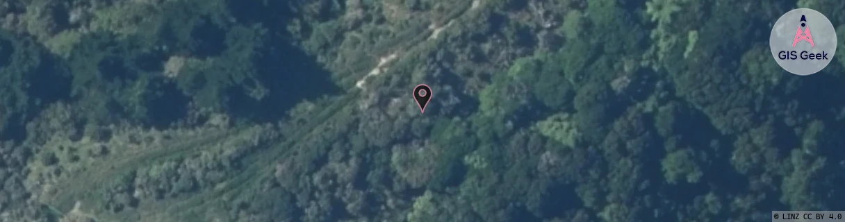
Location Raw Name: (MBN-053-036-A)[VPMH]_S_PORTAGE/MARLBOROUGH
GIS Geek | LINZ | GMaps | Street View
Login required to upload photos or suggest corrections.
Closest Towers
| Provider | Location Name | Distance | Bearing |
|---|---|---|---|
| Spark | Kenepuru Sounds | 66m | 248.12 |
| OneNZ | Portage/Marlborough | 83m | 199.65 |
| 2Degrees | Waikawa Bay | 12.18km | 158.2 |
| RCG | RMLPLS - Pelorus Sound | 8.93km | 332.95 |
Licence Details
Close Cell IDs 2Degrees MMC: 530 MNC: 24
| Radio | Area | Cell | Distance from tower | Bearing from tower | Samples |
|---|---|---|---|---|---|
| LTE | 62299 | 1706758 | 4.35km | 241.16 | 2 |
| UMTS | 22199 | 452081 | 7.07km | 197.88 | 4 |
| GSM | 199 | 38865 | 11.28km | 185.06 | 5 |
| UMTS | 22199 | 449913 | 11.34km | 160.47 | 1 |