Location Overview
The 2Degrees Nightcaps location is 22m high, has 5 licences associated, and is capable* of 3G UMTS and 4G LTE.
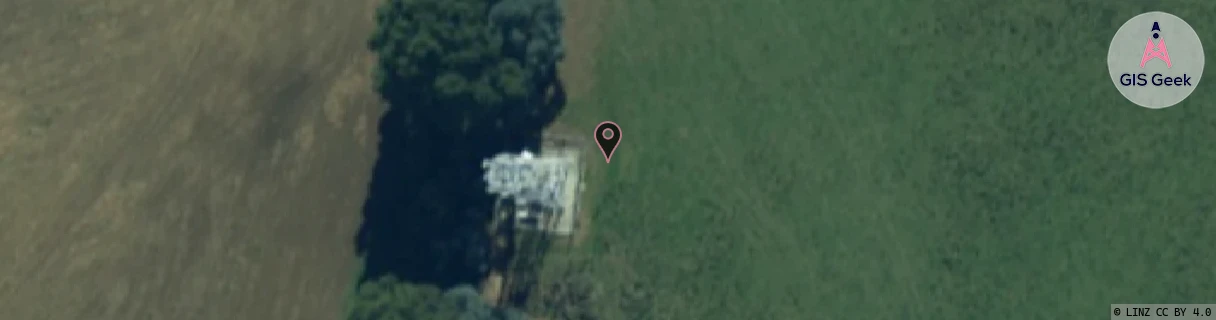
Location Raw Name: (STH-073-027-A)[NGCS]_NIGHTCAPS
GIS Geek | LINZ | GMaps | Street View
Login required to upload photos or suggest corrections.
Closest Towers
| Provider | Location Name | Distance | Bearing |
|---|---|---|---|
| Spark | Nightcaps | 0m | 0 |
| OneNZ | Nightcaps | 0m | 0 |
| 2Degrees | Ohai | 11.92km | 264.77 |
| RCG | RSLHDB - Heddon Bush | 13.66km | 142.99 |
Licence Details
Close Cell IDs 2Degrees MMC: 530 MNC: 24
| Radio | Area | Cell | Distance from tower | Bearing from tower | Samples |
|---|---|---|---|---|---|
| UMTS | 22220 | 452447 | 24.05km | 107.28 | 1 |
| UMTS | 22220 | 19784989 | 23.14km | 87.29 | 148 |
| LTE | 62220 | 1782532 | 26.04km | 113.65 | 54 |
| UMTS | 22220 | 976329 | 26.09km | 113.55 | 48 |
| LTE | 62220 | 1782642 | 27.61km | 118.77 | 60 |
| UMTS | 62220 | 696463 | 25.26km | 80.69 | 5 |
| LTE | 62220 | 696463 | 25.56km | 78.21 | 63 |
| LTE | 62220 | 1782551 | 29.5km | 122.32 | 24 |
| UMTS | 22220 | 956332 | 30.13km | 123.15 | 2 |
| LTE | 62220 | 558989 | 37.77km | 24.33 | 50 |