Location Overview
The 2Degrees Burnham Military location is 40m high, has 3 licences associated, and is capable* of 3G UMTS and 4G LTE.
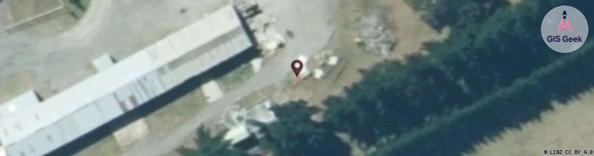
Location Raw Name: (CAN-062-006-A)[BRNM]_BURNHAM MILITARY
GIS Geek | LINZ | GMaps | Street View
Login required to upload photos or suggest corrections.
Closest Towers
| Provider | Location Name | Distance | Bearing |
|---|---|---|---|
| Spark | Burnham | 369m | 252.81 |
| OneNZ | Burnham Military Camp | 28m | 249.43 |
| 2Degrees | Rolleston South | 2.8km | 77.76 |
| RCG | RCTLEN - Leeston North | 10.07km | 200.92 |
Licence Details
Close Cell IDs 2Degrees MMC: 530 MNC: 24
| Radio | Area | Cell | Distance from tower | Bearing from tower | Samples |
|---|---|---|---|---|---|
| UMTS | 22216 | 976865 | 451m | 57.69 | 8 |
| LTE | 62216 | 1682434 | 789m | 63.1 | 68 |
| GSM | 216 | 38635 | 815m | 255.07 | 112 |
| UMTS | 22216 | 956873 | 1.19km | 253.58 | 16 |
| UMTS | 22216 | 432564 | 1.56km | 72.37 | 234 |
| UMTS | 22216 | 452587 | 1.69km | 251.47 | 258 |