Location Overview
The 2Degrees Wharite location is 15m high, has 2 licences associated, and is capable* of 3G UMTS and 4G LTE.
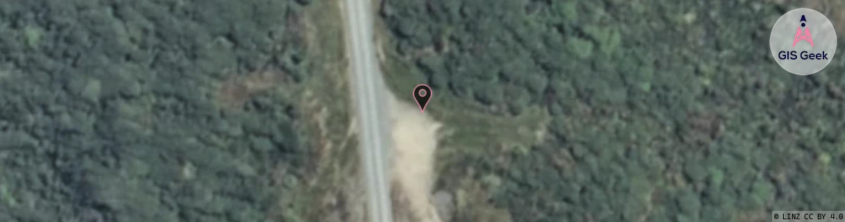
Location Raw Name: (MNW-041-003-A)[WRTE]_WHARITE
GIS Geek | LINZ | GMaps | Street View
Login required to upload photos or suggest corrections.
Closest Towers
| Provider | Location Name | Distance | Bearing |
|---|---|---|---|
| Spark | North Range Road | 10.21km | 213.53 |
| OneNZ | Wharite (VF W3WRT) | 78m | 25.69 |
| 2Degrees | Woodville Town | 9.28km | 173.71 |
| RCG | RMWTMH - Tararua Manawatu Highway | 7.61km | 224.73 |
Licence Details
Close Cell IDs 2Degrees MMC: 530 MNC: 24
| Radio | Area | Cell | Distance from tower | Bearing from tower | Samples |
|---|---|---|---|---|---|
| UMTS | 22213 | 1766924 | 7.15km | 193.08 | 1 |
| UMTS | 22213 | 26402039 | 8.92km | 179.98 | 1 |
| GSM | 815 | 16153 | 9.01km | 153.2 | 10 |
| UMTS | 213 | 376913 | 9.4km | 185.56 | 1 |