Location Overview
The 2Degrees Leeston location is 30m high, has 6 licences associated, and is capable* of 3G UMTS, 4G LTE and 5G.
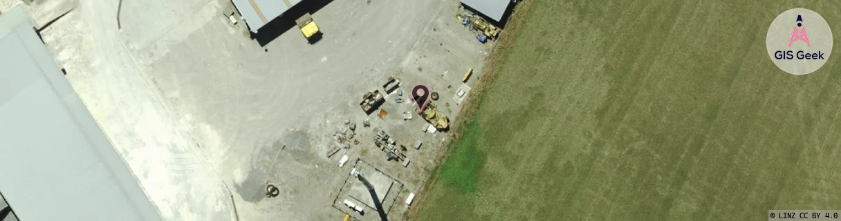
Location Raw Name: (CAN-062-004-C)[LEES]_LEESTON
GIS Geek | LINZ | GMaps | Street View
Login required to upload photos or suggest corrections.
Closest Towers
| Provider | Location Name | Distance | Bearing |
|---|---|---|---|
| Spark | Leeston | 2.03km | 209.33 |
| OneNZ | Leeston | 1.4km | 196.7 |
| 2Degrees | S_Southbridge | 8.01km | 216.68 |
| RCG | RCTLEN - Leeston North | 7.58km | 346.3 |
Licence Details
Close Cell IDs 2Degrees MMC: 530 MNC: 24
| Radio | Area | Cell | Distance from tower | Bearing from tower | Samples |
|---|---|---|---|---|---|
| UMTS | 22216 | 432604 | 1.44km | 255.91 | 2 |
| UMTS | 22216 | 432605 | 1.81km | 283.19 | 4 |
| LTE | 62216 | 1780997 | 3.99km | 357.51 | 2 |
| UMTS | 22216 | 452599 | 5.5km | 162.38 | 2 |
| UMTS | 22216 | 452601 | 5.37km | 293.17 | 2 |
| LTE | 62216 | 1805315 | 7.56km | 359.95 | 1 |
| LTE | 62216 | 1682435 | 7.56km | 359.95 | 1 |
| UMTS | 22216 | 432603 | 6km | 70.88 | 7 |
| LTE | 62216 | 1682436 | 12.93km | 26.74 | 6 |
| UMTS | 22216 | 452589 | 13.38km | 344.06 | 38 |
| LTE | 62216 | 1712387 | 14.01km | 28.04 | 1 |
| GSM | 216 | 39365 | 14.5km | 341.19 | 194 |