Location Overview
The 2Degrees S_Hector location is 15m high, has 2 licences associated, and is capable* of 3G UMTS and 4G LTE.
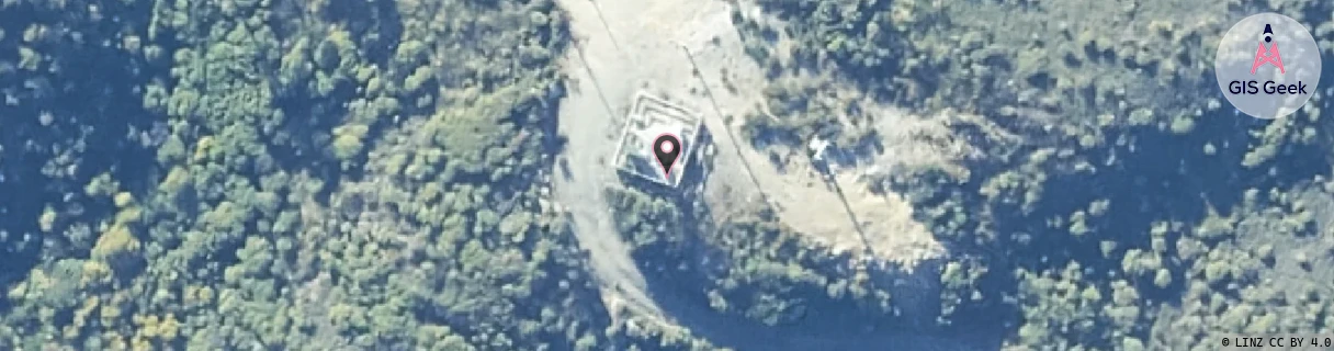
Location Raw Name: (WST-055-018-A)[VHEC]_S_HECTOR
GIS Geek | LINZ | GMaps | Street View
Login required to upload photos or suggest corrections.
Closest Towers
| Provider | Location Name | Distance | Bearing |
|---|---|---|---|
| Spark | Hector | 1m | 186.84 |
| OneNZ | Hector | 1m | 186.84 |
| 2Degrees | S_Westport (Bcl) | 18.79km | 212.02 |
| RCG | RWCSDV - Seddonville | 14.51km | 38.26 |
Licence Details
Close Cell IDs 2Degrees MMC: 530 MNC: 24
| Radio | Area | Cell | Distance from tower | Bearing from tower | Samples |
|---|---|---|---|---|---|
| GSM | 215 | 38951 | 13.84km | 230.13 | 1 |
| UMTS | 22215 | 452167 | 24.98km | 245.05 | 5 |
| UMTS | 22215 | 432174 | 25.45km | 244.17 | 3 |
| GSM | 215 | 38953 | 27.82km | 226.81 | 1 |