Location Overview
The 2Degrees Pencarrow location is 9m high, has 5 licences associated, and is capable* of 3G UMTS and 4G LTE.
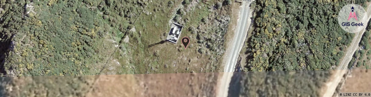
Location Raw Name: (WLG-046-035-B)[PCRW]_PENCARROW
GIS Geek | LINZ | GMaps | Street View
Login required to upload photos or suggest corrections.
Closest Towers
| Provider | Location Name | Distance | Bearing |
|---|---|---|---|
| Spark | Camp Bay | 155m | 39.05 |
| OneNZ | Camp Bay | 7m | 302.52 |
| 2Degrees | Eastbourne | 3.32km | 26.09 |
| RCG | RWLBHE - Baring Head / Catchpool | 5.52km | 153.39 |
Licence Details
Close Cell IDs 2Degrees MMC: 530 MNC: 24
| Radio | Area | Cell | Distance from tower | Bearing from tower | Samples |
|---|---|---|---|---|---|
| UMTS | 20002 | 172185 | 698m | 168.29 | 1 |
| UMTS | 20002 | 171695 | 1.05km | 123.08 | 1 |
| GSM | 20001 | 21113 | 2.73km | 37.63 | 1 |
| GSM | 8 | 21101 | 2.34km | 271.95 | 8 |
| UMTS | 20001 | 171750 | 2.52km | 291.2 | 6 |
| GSM | 7 | 20603 | 2.62km | 299.59 | 7 |
| UMTS | 20001 | 151450 | 2.63km | 240.64 | 31 |
| UMTS | 20002 | 152179 | 2.58km | 259.61 | 22 |
| GSM | 8 | 21105 | 2.75km | 289.9 | 9 |
| UMTS | 62214 | 1706758 | 2.9km | 243.46 | 1 |