Location Overview
The 2Degrees Macandrew Bay location is 15m high, has 5 licences associated, and is capable* of 3G UMTS and 4G LTE.
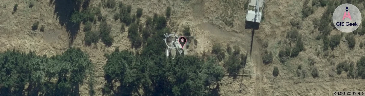
Location Raw Name: (OTG-071-008-A)[MCBY]_MACANDREW BAY
GIS Geek | LINZ | GMaps | Street View
Login required to upload photos or suggest corrections.
Closest Towers
| Provider | Location Name | Distance | Bearing |
|---|---|---|---|
| Spark | Signal Hill | 5.01km | 323.67 |
| OneNZ | Otago Harbour | 9m | 194.19 |
| 2Degrees | Andersons Bay | 5.44km | 256.86 |
| RCG | ROTMHW - Mihiwaka | 12.2km | 12.94 |
Licence Details
Close Cell IDs 2Degrees MMC: 530 MNC: 24
| Radio | Area | Cell | Distance from tower | Bearing from tower | Samples |
|---|---|---|---|---|---|
| LTE | 62219 | 2837508 | 1.86km | 6.45 | 3 |
| UMTS | 22219 | 452899 | 1.39km | 269.15 | 2 |
| LTE | 62219 | 1775878 | 2.14km | 4.7 | 5 |
| LTE | 62219 | 2847236 | 2.3km | 316.59 | 15 |
| LTE | 62219 | 2837512 | 2.52km | 283.23 | 59 |
| UMTS | 22219 | 433085 | 2.96km | 305.29 | 2 |
| LTE | 62219 | 1775874 | 3.65km | 7.99 | 12 |
| UMTS | 22219 | 453079 | 2.75km | 68.61 | 3 |
| UMTS | 22219 | 453064 | 2.97km | 287.65 | 15 |
| LTE | 62219 | 1768452 | 3.89km | 27.27 | 16 |