Location Overview
The 2Degrees S_Clarence location is 9m high, has 2 licences associated, and is capable* of 3G UMTS and 4G LTE.
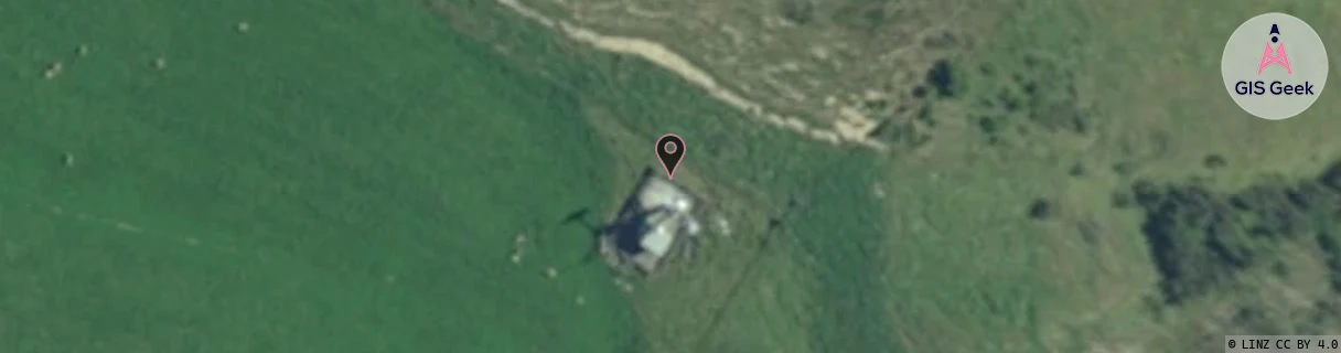
Location Raw Name: (CAN-054-004-A)[VCLA]_S_CLARENCE
GIS Geek | LINZ | GMaps | Street View
Login required to upload photos or suggest corrections.
Closest Towers
| Provider | Location Name | Distance | Bearing |
|---|---|---|---|
| Spark | Clarence | 1.57km | 131.86 |
| OneNZ | Clarence (VF S2CLA) | 1m | 132.97 |
| 2Degrees | Rctwpb - Waipapa Bay | 7.67km | 215.71 |
| RCG | RCTWPB - Waipapa Bay | 7.67km | 215.71 |
Licence Details
Close Cell IDs 2Degrees MMC: 530 MNC: 24
| Radio | Area | Cell | Distance from tower | Bearing from tower | Samples |
|---|---|---|---|---|---|
| GSM | 24 | 23881 | 2.36km | 224.56 | 31 |
| GSM | 24 | 23882 | 12.54km | 29.09 | 71 |
| GSM | 24 | 22242 | 13.19km | 223.74 | 11 |
| UMTS | 22215 | 19763852 | 13.58km | 222.97 | 1 |