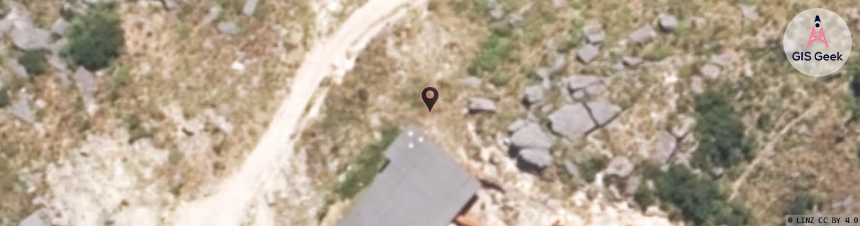
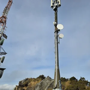
Location Overview
The Spark Mt Rochfort location is 15m high, has 4 licences associated, and is capable* of 3G UMTS and 4G LTE.
GIS Geek | LINZ | GMaps | Street View
Login required to upload photos or suggest corrections.
Closest Towers
| Provider | Location Name | Distance | Bearing |
|---|---|---|---|
| Spark | Orowaiti | 8.96km | 289.63 |
| OneNZ | Westport | 66m | 251.32 |
| 2Degrees | S_Westport (Bcl) | 52m | 228.03 |
| RCG | RWCOKR - Ohikanui River | 7.81km | 196.86 |
User Photos
Licence Details
Close Cell IDs Spark MMC: 530 MNC: 5
| Radio | Area | Cell | Distance from tower | Bearing from tower | Samples |
|---|---|---|---|---|---|
| UMTS | 34999 | 1879092 | 6.59km | 15.22 | 55 |
| UMTS | 34999 | 2281420 | 6.85km | 4.77 | 6 |
| LTE | 28131 | 625519 | 5.7km | 298.74 | 41 |
| UMTS | 34999 | 1879095 | 6.89km | 17.19 | 50 |
| UMTS | 34999 | 2280745 | 8.06km | 6.58 | 1 |
| LTE | 28131 | 607619 | 8.47km | 16.41 | 372 |
| LTE | 28131 | 607609 | 7.73km | 282.39 | 8 |
| UMTS | 34999 | 2281423 | 9.67km | 28.38 | 9 |