Location Overview
The 2Degrees Ferrymead location is 19m high, has 5 licences associated, and is capable* of 3G UMTS and 4G LTE.
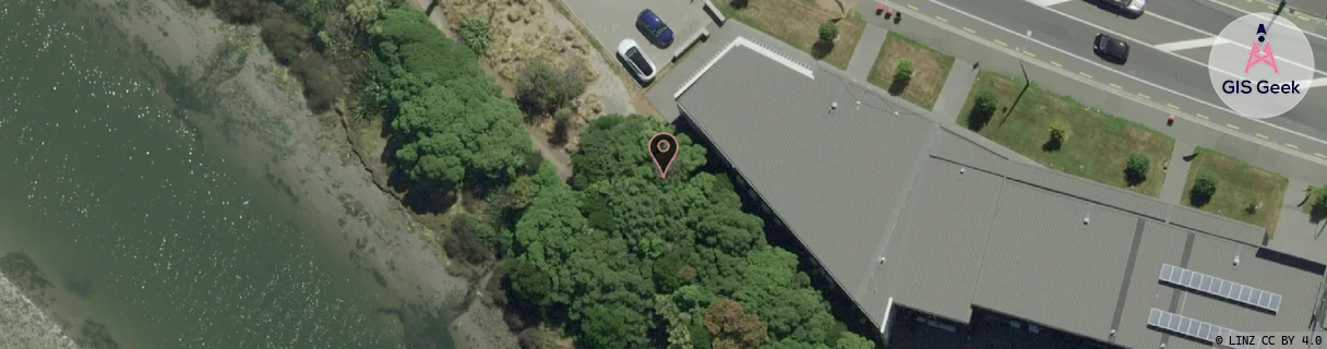
Location has been manually adjusted based on user feedback.
Location Raw Name: (CHC-060-027-E)[FRMD]_FERRYMEAD
GIS Geek | LINZ | GMaps | Street View
Login required to upload photos or suggest corrections.
Closest Towers
| Provider | Location Name | Distance | Bearing |
|---|---|---|---|
| Spark | Woolston | 374m | 70.18 |
| OneNZ | Ferrymead ONZ S3FER | 391m | 104.72 |
| 2Degrees | Woolston | 1.47km | 302.98 |
| RCG | RCTPTL - Port Levy | 14.74km | 128.76 |
Licence Details
Close Cell IDs 2Degrees MMC: 530 MNC: 24
| Radio | Area | Cell | Distance from tower | Bearing from tower | Samples |
|---|---|---|---|---|---|
| GSM | 60 | 30515 | 104m | 73.68 | 4 |
| GSM | 28 | 9182 | 151m | 321.33 | 5 |
| LTE | 63002 | 1719558 | 125m | 102.22 | 19 |
| UMTS | 30002 | 836837 | 257m | 299.93 | 11 |
| UMTS | 30002 | 181757 | 323m | 219.12 | 12 |
| GSM | 28 | 20713 | 375m | 211.62 | 2 |
| UMTS | 30002 | 181149 | 434m | 307.97 | 23 |
| UMTS | 30002 | 836835 | 495m | 211.49 | 25 |
| GSM | 60 | 30131 | 508m | 217.26 | 6 |
| UMTS | 30002 | 181460 | 432m | 287.66 | 25 |