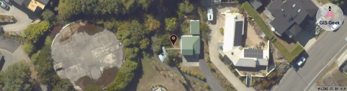
Location Overview
The Spark Queenstown Cow location is 11m high, has 4 licences associated, and is capable* of 3G UMTS and 4G LTE.
GIS Geek | LINZ | GMaps | Street View
Closest Towers
| Provider | Location Name | Distance | Bearing |
|---|---|---|---|
| Spark | Queenstown Central | 919m | 262.03 |
| OneNZ | Queenstown East | 640m | 237.23 |
| 2Degrees | Queenstown_Central | 1.05km | 257.38 |
| RCG | ROTPRD - Paradise | 34.82km | 324.35 |
Licence Details
Close Cell IDs Spark MMC: 530 MNC: 5
| Radio | Area | Cell | Distance from tower | Bearing from tower | Samples |
|---|---|---|---|---|---|
| UMTS | 28390 | 1877740 | 130m | 14.41 | 6 |
| UMTS | 28390 | 1877746 | 253m | 292.03 | 5 |
| UMTS | 28390 | 1494778 | 341m | 192.87 | 3 |
| UMTS | 23410 | 1559462 | 433m | 229.41 | 3 |
| UMTS | 33623 | 1494775 | 438m | 139.41 | 1 |
| UMTS | 22403 | 1494775 | 481m | 209.31 | 21 |
| UMTS | 23410 | 1559460 | 493m | 227.65 | 6 |
| UMTS | 22403 | 1495564 | 502m | 207.16 | 4 |