Location Overview
The 2Degrees Taupiri location is 13m high, has 5 licences associated, and is capable* of 3G UMTS and 4G LTE.
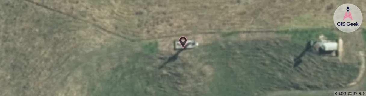
Location Raw Name: (WKT-013-010-A)[TUPR]_TAUPIRI
GIS Geek | LINZ | GMaps | Street View
Login required to upload photos or suggest corrections.
Closest Towers
| Provider | Location Name | Distance | Bearing |
|---|---|---|---|
| Spark | Taupiri | 1.22km | 107.21 |
| OneNZ | Taupiri 2 | 53m | 89.65 |
| 2Degrees | Huntly Bypass Cow | 2.28km | 7.27 |
| RCG | RWKWGA - Waingaro | 18.72km | 239.48 |
Licence Details
Close Cell IDs 2Degrees MMC: 530 MNC: 24
| Radio | Area | Cell | Distance from tower | Bearing from tower | Samples |
|---|---|---|---|---|---|
| UMTS | 22206 | 280842 | 471m | 57.99 | 7 |
| GSM | 234 | 5921 | 915m | 20.33 | 4 |
| UMTS | 10005 | 280842 | 1.03km | 1.14 | 1 |
| GSM | 206 | 18793 | 1.39km | 19.69 | 1 |
| UMTS | 22206 | 270937 | 1.49km | 346.58 | 7 |
| UMTS | 22206 | 270837 | 1.34km | 129.51 | 29 |
| UMTS | 22206 | 270842 | 1.58km | 338.26 | 12 |
| UMTS | 22206 | 1662724 | 1.6km | 333.5 | 1 |
| LTE | 62206 | 1734677 | 2.42km | 125.62 | 17 |
| GSM | 206 | 18695 | 2.27km | 86.13 | 2 |