Location Overview
The 2Degrees Mt Wellington Nth location is 12m high, has 7 licences associated, and is capable* of 3G UMTS, 4G LTE and 5G.
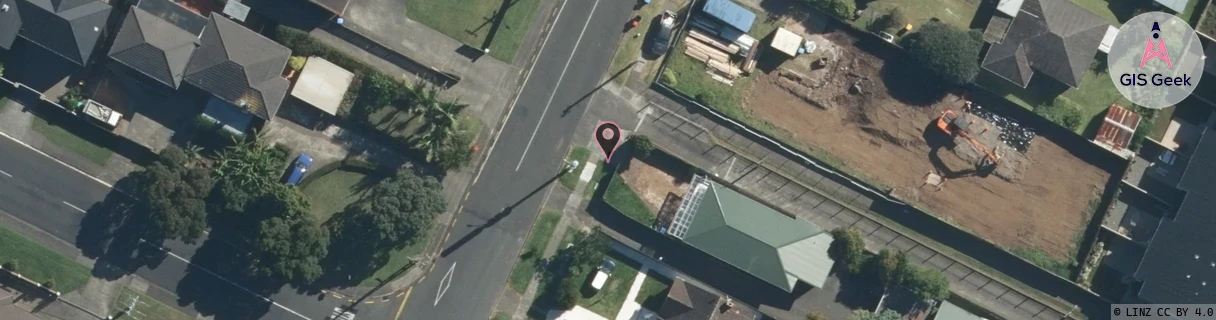
Location Raw Name: (AKL-007-145-C)[MWGN]_MT WELLINGTON NTH
GIS Geek | LINZ | GMaps | Street View
Login required to upload photos or suggest corrections.
Closest Towers
| Provider | Location Name | Distance | Bearing |
|---|---|---|---|
| Spark | Barrack Road | 68m | 22.31 |
| OneNZ | Panmure Industrial (VF A6PMI) | 645m | 105 |
| 2Degrees | Mt Wellington | 941m | 188.63 |
| RCG | RAKSSJ - Summerset St John | 3.03km | 359.39 |
Licence Details
Close Cell IDs 2Degrees MMC: 530 MNC: 24
| Radio | Area | Cell | Distance from tower | Bearing from tower | Samples |
|---|---|---|---|---|---|
| UMTS | 10007 | 600163 | 94m | 21.2 | 7 |
| UMTS | 10005 | 1562116 | 175m | 32.88 | 2 |
| UMTS | 10005 | 590159 | 189m | 76.75 | 2 |
| UMTS | 10005 | 601111 | 281m | 12.31 | 15 |
| LTE | 61005 | 1565701 | 280m | 279.58 | 2 |
| UMTS | 10005 | 591111 | 354m | 28.49 | 9 |
| UMTS | 10007 | 1568514 | 355m | 212.23 | 1 |
| UMTS | 10005 | 1565698 | 370m | 211.68 | 2 |
| UMTS | 10007 | 1565698 | 381m | 317.58 | 2 |
| UMTS | 10005 | 601271 | 429m | 334.52 | 9 |
| LTE | 61005 | 2627844 | 450m | 162.47 | 25 |
| UMTS | 10004 | 1565698 | 462m | 353.51 | 1 |
| GSM | 35 | 50311 | 419m | 49.05 | 9 |
| LTE | 61005 | 1565698 | 437m | 42.58 | 56 |