Location Overview
The 2Degrees Maungataniwha location is 20m high, has 5 licences associated, and is capable* of 3G UMTS and 4G LTE.
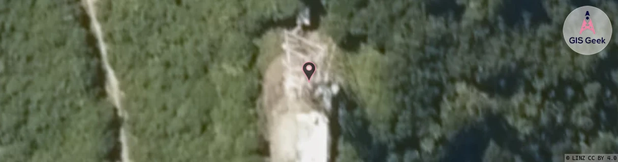
Location Raw Name: (NTH-001-044-A)[MTWA]_MAUNGATANIWHA
GIS Geek | LINZ | GMaps | Street View
Login required to upload photos or suggest corrections.
Closest Towers
| Provider | Location Name | Distance | Bearing |
|---|---|---|---|
| Spark | Maungataniwha | 37m | 269.54 |
| OneNZ | Maungataniwha Bcl | 8m | 246.28 |
| 2Degrees | S_Whangaroa | 21.34km | 46.26 |
| RCG | RNLMTC - Mangamuka South (Chorus) | 4.44km | 270.21 |
Licence Details
Close Cell IDs 2Degrees MMC: 530 MNC: 24
| Radio | Area | Cell | Distance from tower | Bearing from tower | Samples |
|---|---|---|---|---|---|
| GSM | 202 | 18643 | 11.55km | 194.82 | 5 |
| UMTS | 22202 | 270525 | 17.41km | 34.06 | 128 |
| GSM | 202 | 18381 | 18.86km | 1.12 | 5 |
| UMTS | 22202 | 280531 | 18.87km | 13.47 | 2 |
| GSM | 202 | 18383 | 19.7km | 348.34 | 11 |
| UMTS | 22202 | 280532 | 19.74km | 348.02 | 44 |
| UMTS | 22202 | 59106803 | 19.96km | 345.18 | 2 |
| UMTS | 22202 | 270177 | 19.71km | 25.31 | 21 |
| UMTS | 22202 | 59106763 | 18.94km | 42.31 | 1 |
| UMTS | 22202 | 270795 | 17.55km | 281.01 | 109 |