Location Overview
The 2Degrees Mangere West location is 24m high, has 4 licences associated, and is capable* of 3G UMTS and 4G LTE.
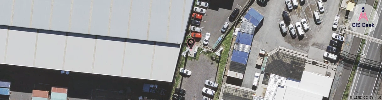
Location Raw Name: (AKL-008-008-C)[MGRW]_MANGERE WEST
GIS Geek | LINZ | GMaps | Street View
Login required to upload photos or suggest corrections.
Closest Towers
| Provider | Location Name | Distance | Bearing |
|---|---|---|---|
| Spark | Ascot Road | 42m | 178.81 |
| OneNZ | Ihumatao | 373m | 248.73 |
| 2Degrees | Mangere_West | 0m | 0 |
| RCG | RAKMNB - Manawa Bay | 2.86km | 150.88 |
Licence Details
Close Cell IDs 2Degrees MMC: 530 MNC: 24
| Radio | Area | Cell | Distance from tower | Bearing from tower | Samples |
|---|---|---|---|---|---|
| UMTS | 10003 | 76514 | 77m | 145.75 | 1 |
| LTE | 61005 | 1559309 | 112m | 318.39 | 1 |
| UMTS | 20002 | 1559300 | 173m | 108.87 | 1 |
| UMTS | 10002 | 590801 | 180m | 66.95 | 1 |
| UMTS | 10002 | 600802 | 223m | 168.15 | 1 |
| UMTS | 10002 | 590802 | 223m | 168.15 | 1 |
| LTE | 61005 | 1559300 | 210m | 137.18 | 66 |
| LTE | 61005 | 1559299 | 315m | 187 | 1 |