Location Overview
The 2Degrees Nth Harbour Rd location is 12m high, has 4 licences associated, and is capable* of 3G UMTS and 4G LTE.
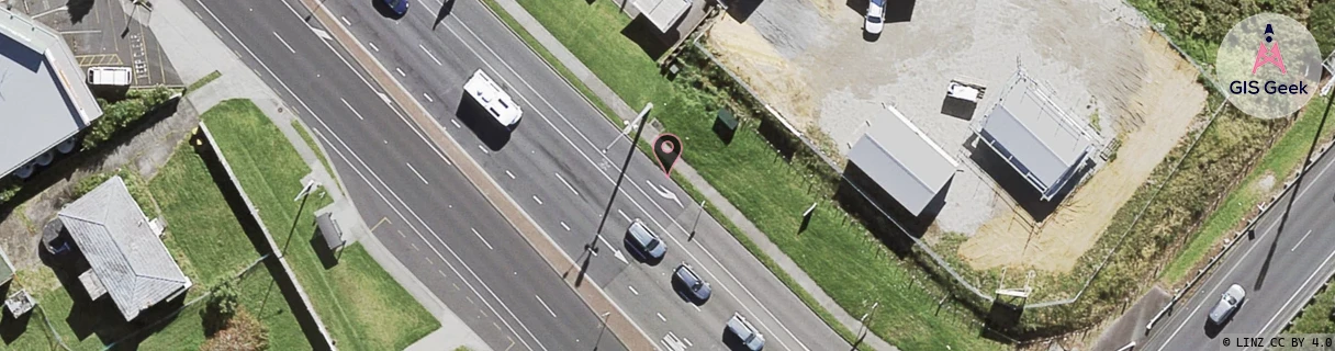
Location Raw Name: (AKL-005-023-G)[NHBR]_NTH HARBOUR RD
GIS Geek | LINZ | GMaps | Street View
Login required to upload photos or suggest corrections.
Closest Towers
| Provider | Location Name | Distance | Bearing |
|---|---|---|---|
| Spark | Rosedale Park | 995m | 17.44 |
| OneNZ | Albany South Relocate | 82m | 85.38 |
| 2Degrees | Albany West | 958m | 339.78 |
| RCG | RAKARV - Ararimu Valley | 13.74km | 287.91 |
Licence Details
Close Cell IDs 2Degrees MMC: 530 MNC: 24
| Radio | Area | Cell | Distance from tower | Bearing from tower | Samples |
|---|---|---|---|---|---|
| UMTS | 10001 | 77514 | 31m | 47.42 | 1 |
| LTE | 61004 | 1665027 | 34m | 48.94 | 1 |
| LTE | 61001 | 1753603 | 34m | 48.94 | 1 |
| LTE | 61004 | 1665025 | 34m | 48.94 | 1 |
| LTE | 61001 | 1753605 | 34m | 48.94 | 1 |
| UMTS | 10003 | 80994 | 36m | 253.02 | 1 |
| GSM | 1 | 15193 | 161m | 334.12 | 15 |
| UMTS | 10001 | 1580036 | 172m | 75.19 | 2 |