Location Overview
The 2Degrees Rtasnd - Shenandoah location is 20m high, has 1 licence associated, and is capable* of 3G UMTS.
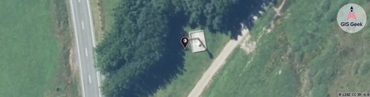
Location Raw Name: RTASND - SHENANDOAH
GIS Geek | LINZ | GMaps | Street View
Login required to upload photos or suggest corrections.
Closest Towers
| Provider | Location Name | Distance | Bearing |
|---|---|---|---|
| Spark | Murchison Town | 13.53km | 47.45 |
| OneNZ | Buller Gorge (S1Bgg) | 10.79km | 345.8 |
| 2Degrees | Rtamwb - Maruia West Bank | 9.19km | 214.81 |
| RCG | RTASND - Shenandoah | 0m | 0 |
Licence Details
Close Cell IDs 2Degrees MMC: 530 MNC: 24
| Radio | Area | Cell | Distance from tower | Bearing from tower | Samples |
|---|---|---|---|---|---|
| UMTS | 1303 | 19784252 | 8.86km | 340.01 | 1 |
| UMTS | 22215 | 451857 | 41.37km | 235.72 | 1 |