Location Overview
The 2Degrees Unsworth Heights location is 13m high, has 5 licences associated, and is capable* of 3G UMTS and 4G LTE.
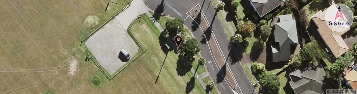
Location Raw Name: (AKL-005-038-A)[USWH]_UNSWORTH HEIGHTS
GIS Geek | LINZ | GMaps | Street View
Login required to upload photos or suggest corrections.
Closest Towers
| Provider | Location Name | Distance | Bearing |
|---|---|---|---|
| Spark | Sunset Road | 434m | 61.7 |
| OneNZ | Glenfield Road North | 41m | 322.82 |
| 2Degrees | Sunset Road Hub | 894m | 57.49 |
| RCG | RAKARV - Ararimu Valley | 15.27km | 287.04 |
Licence Details
Close Cell IDs 2Degrees MMC: 530 MNC: 24
| Radio | Area | Cell | Distance from tower | Bearing from tower | Samples |
|---|---|---|---|---|---|
| UMTS | 10001 | 1575684 | 74m | 146.3 | 3 |
| UMTS | 1 | 70754 | 234m | 206.63 | 1 |
| GSM | 1 | 15451 | 230m | 286.9 | 25 |
| UMTS | 10001 | 70753 | 255m | 73.63 | 3 |
| LTE | 61001 | 1575682 | 263m | 68.7 | 38 |
| UMTS | 10001 | 1579268 | 306m | 107.67 | 5 |
| GSM | 1 | 15473 | 354m | 322 | 28 |
| LTE | 61001 | 1575684 | 370m | 204.55 | 200 |
| GSM | 1 | 16161 | 355m | 121.98 | 1 |
| GSM | 1 | 15213 | 430m | 194.54 | 3 |